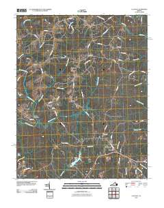
2010 Map of Clayville
USGS Topo · Published 2010About this map
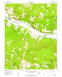
The Appomattox River winds through this landscape on the Powhatan and Amelia county line, defining the southern border of several rural communities. Small settlements such as Moseley, Clayville, and Skinquarter are connected by a network of backroads like Genito Rd and Skinquarter Rd, reflecting a traditional Piedmont pattern of crossroads hamlets. Genealogists will find significant local history at Grace Cemetery, Liberty Cemetery, and Skinquarter Cemetery, which mark the centers of long-standing rural neighborhoods.
Find a feature on this map
59 named features on this map. Tap any name to fly to it.
Don’t see what you’re looking for? This feature index may not catch every label — zoom into the map to look around manually.
Map Details
Editions of this 2010 Clayville Map
This is the sole edition of this map. No revisions or reprints were ever made.
Other maps of this area

1890 · Goochland
USGS Topo · 1:125,000

1892 · Goochland
USGS Topo · 1:125,000
1897 · Amelia
USGS Topo · 1:125,000
1943 · Fine Creek Mills
USGS Topo · 1:31,680
1943 · Powhatan
USGS Topo · 1:31,680
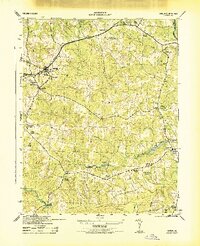
1943 · Amelia
USGS Topo · 1:31,680
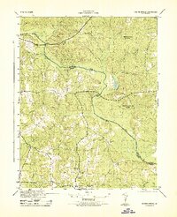
1943 · Goodes Bridge
USGS Topo · 1:31,680
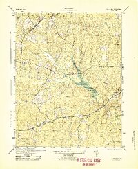
1943 · Hallsboro
USGS Topo · 1:31,680
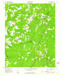
1943 · Clayville
USGS Topo · 1:24,000
1943 · Midlothian
USGS Topo · 1:24,000