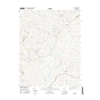
2016 Map of Clayville
USGS Topo · Published 2016About this map
Pilkinton and the surrounding rural communities of Powhatan and Chesterfield counties are defined by the winding course of the Appomattox River and the numerous tributaries that drain this Piedmont landscape. This 2016 survey shows a territory where historic settlements like Mattoax and Genito persist alongside growing residential developments like Stavemill Estates Dr. The geography is heavily influenced by water, with Skingquarter Creek, Butterwood Cr, and Goode Cr cutting through the terrain. Evidence of long-standing community history is preserved in the location of Liberty Cem, Grace Cem, and Skinquarter Cem, which serve as genealogical anchors for the region. The map also captures the local road network, from the primary thoroughfare of Hull Street Rd to smaller routes like Lacy Farm Rd and Bradbury Rd that connect the small hamlets of Clayville, Dorset, and Moseley.
Find a feature on this map
87 named features on this map. Tap any name to fly to it.
Don’t see what you’re looking for? This feature index may not catch every label — zoom into the map to look around manually.
Map Details
Editions of this 2016 Clayville Map
This is the sole edition of this map. No revisions or reprints were ever made.
Other maps of this area

1890 · Goochland
USGS Topo · 1:125,000

1892 · Goochland
USGS Topo · 1:125,000

1897 · Amelia
USGS Topo · 1:125,000

1943 · Fine Creek Mills
USGS Topo · 1:31,680

1943 · Powhatan
USGS Topo · 1:31,680

1943 · Amelia
USGS Topo · 1:31,680

1943 · Goodes Bridge
USGS Topo · 1:31,680

1943 · Hallsboro
USGS Topo · 1:31,680

1943 · Clayville
USGS Topo · 1:24,000

1943 · Midlothian
USGS Topo · 1:24,000