Loading...
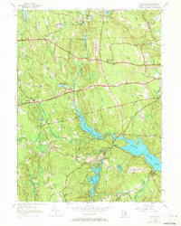
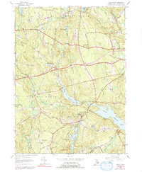
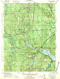
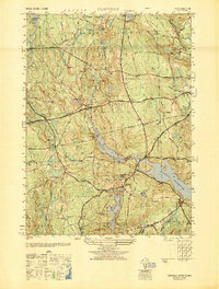
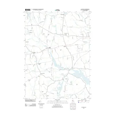
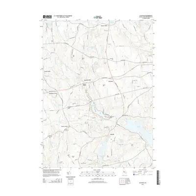
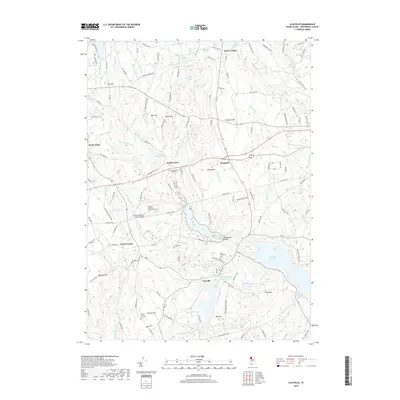
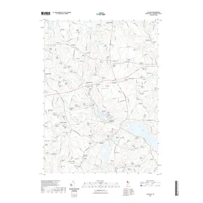
Loading map...1955 Map of Clayville
USGS Topo · Published 1973About this map
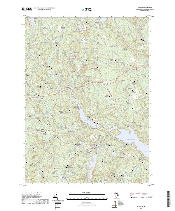
The interior of Rhode Island, where the borders of Glocester, Foster, and Scituate converge, is defined by a massive system of engineered waterways and rural crossroads. The Scituate Reservoir, Barden Reservoir, and Westconnaug Reservoir dominate the landscape, their flooded valleys indicating the mid-century transformation of the area to support urban water needs. Despite these large-scale public works, the map reveals a persistent rural social fabric centered on family-named landmarks and local institutions.
Find a feature on this map
55 named features on this map. Tap any name to fly to it.
Don’t see what you’re looking for? This feature index may not catch every label — zoom into the map to look around manually.
Map Details
Date Portrayed1955
Date Published1973
PublisherU.S. Geological Survey
Map TypeTopographic
Scale1:24,000
Physical Dimensions21.5 x 26.9 inches
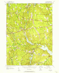
Editions of this 1955 Clayville Map
5 editions found
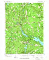
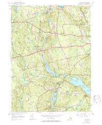
Historical Maps of Scituate Through Time
8 maps found
Featured Locations
Source Details
SourceU.S. Geological Survey
CopyrightPublic Domain