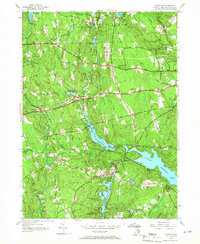
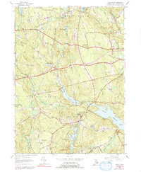
1955 Map of Clayville
USGS Topo · Published 1966About this map
Barden Reservoir and the western reaches of the Scituate Reservoir dominate this mid-century landscape where Providence County's rural heritage meets modern infrastructure. The map traces the historical boundaries of Glocester, Foster, and Scituate, revealing a network of small settlements and family landmarks such as Hopkins Mills, South Foster, and Wilder Cem. The dominance of the reservoirs highlights the region's critical role in the regional water supply, while the surrounding hills—including Chopmist Hill with its police radio tower and Howard Hill—show the persistent wooded character of the northern Rhode Island uplands. Major transit routes like the Hartford Pike and Danielson Pike bisect the terrain, connecting isolated clusters like Simmons Corner and the village of Clayville to the broader regional economy. For researchers, the presence of numerous small water bodies like Stone Dam Pond and Peckham Pond alongside named brooks provides a look at the hydrography that once powered local industry.
Find a feature on this map
46 named features on this map. Tap any name to fly to it.
Don’t see what you’re looking for? This feature index may not catch every label — zoom into the map to look around manually.
Map Details
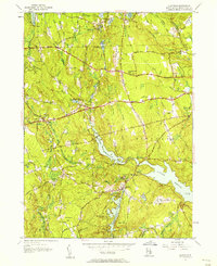
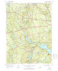
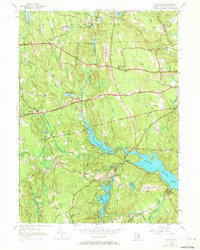
Editions of this 1955 Clayville Map
5 editions found
Other maps of this area

1889 · Putnam
USGS Topo · 1:62,500

1889 · Burrillville
USGS Topo · 1:62,500

1889 · Moosup
USGS Topo · 1:62,500

1890 · Kent
USGS Topo · 1:62,500

1893 · Putnam
USGS Topo · 1:62,500

1893 · Moosup
USGS Topo · 1:62,500

1894 · Burrillville
USGS Topo · 1:62,500

1894 · Kent
USGS Topo · 1:62,500

1915 · Burrillville
USGS Topo · 1:62,500

1919 · Putnam
USGS Topo · 1:62,500