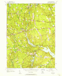
1955 Map of Clayville
USGS Topo · Published 1957About this map
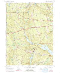
The town of Clayville sits at the nexus of several vital water resources in this mid-1950s Rhode Island survey, reflecting a landscape shaped by large-scale water management. The expansive Scituate Reservoir, Barden Reservoir, and Westconnaug Reservoir dominate the local geography, surrounded by smaller landmarks like King Pond and Stone Dam Pond. These reservoirs serve as the central features of Scituate and Foster, defining the boundaries between rural woodlots and the necessary infrastructure of the era.
Find a feature on this map
56 named features on this map. Tap any name to fly to it.
Don’t see what you’re looking for? This feature index may not catch every label — zoom into the map to look around manually.
Map Details
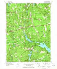
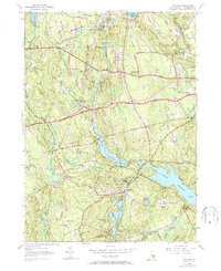
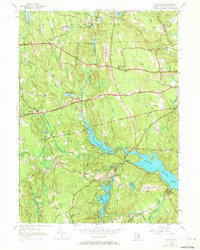
Editions of this 1955 Clayville Map
5 editions found
Other maps of this area

1889 · Putnam
USGS Topo · 1:62,500

1889 · Burrillville
USGS Topo · 1:62,500

1889 · Moosup
USGS Topo · 1:62,500

1890 · Kent
USGS Topo · 1:62,500

1893 · Putnam
USGS Topo · 1:62,500

1893 · Moosup
USGS Topo · 1:62,500

1894 · Burrillville
USGS Topo · 1:62,500

1894 · Kent
USGS Topo · 1:62,500

1915 · Burrillville
USGS Topo · 1:62,500

1919 · Putnam
USGS Topo · 1:62,500