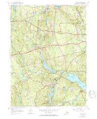
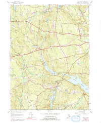
1955 Map of Clayville
USGS Topo · Published 1972About this map
Barden Reservoir and the western reaches of the Scituate Reservoir dominate this 1955 topographic survey of western Rhode Island, which captures the region's character shortly before major suburban expansion. The settlement of Clayville sits at the junction of Scituate and Foster, serving as a focal point for a landscape defined by rocky hills and protected watersheds. The map details a network of historic thoroughfares including the Hartford Pike and Danielson Pike, which connect isolated hamlets like South Foster and Foster Center.
Find a feature on this map
50 named features on this map. Tap any name to fly to it.
Don’t see what you’re looking for? This feature index may not catch every label — zoom into the map to look around manually.
Map Details
Editions of this 1955 Clayville Map
5 editions found
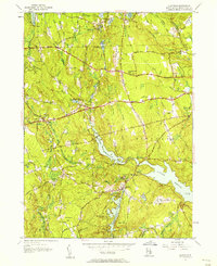
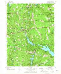
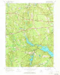
Other maps of this area

1889 · Putnam
USGS Topo · 1:62,500

1889 · Burrillville
USGS Topo · 1:62,500

1889 · Moosup
USGS Topo · 1:62,500

1890 · Kent
USGS Topo · 1:62,500

1893 · Putnam
USGS Topo · 1:62,500

1893 · Moosup
USGS Topo · 1:62,500

1894 · Burrillville
USGS Topo · 1:62,500

1894 · Kent
USGS Topo · 1:62,500

1915 · Burrillville
USGS Topo · 1:62,500

1919 · Putnam
USGS Topo · 1:62,500