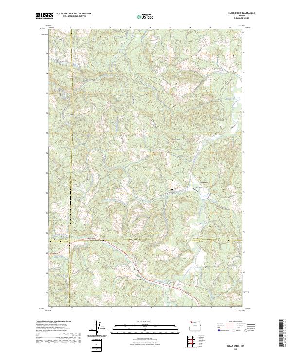
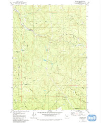
2023 Map of Clear Creek
USGS Topo · Published 2023About this map
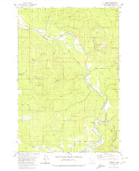
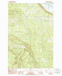
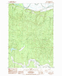
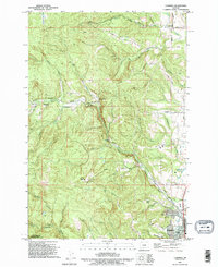
The Nehalem River basin and its many tributaries define this forested landscape at the intersection of Columbia, Washington, Tillamook, and Clatsop counties. The settlement of Keasey and the community of Clear Creek sit amidst a complex network of logging and access roads, such as Sunset Grade and the Rock Creek Mnln. This region's history as a timber-producing area is evidenced by the numerous named grades and creek drainages that dominate the terrain, including Fall Creek, Wolf Creek, and Gales Creek.
Find a feature on this map
57 named features on this map. Tap any name to fly to it.
Don’t see what you’re looking for? This feature index may not catch every label — zoom into the map to look around manually.
Map Details
Editions of this 2023 Clear Creek Map
This is the sole edition of this map. No revisions or reprints were ever made.
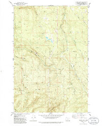
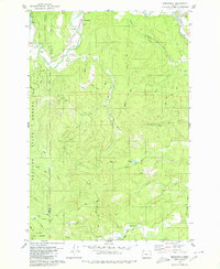
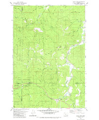
Historical Maps of Keasey Through Time
26 maps found

1919 Mayger
Columbia County, OR

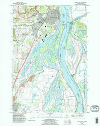
1941 St Helens
Columbia County, OR

1943 St Helens
Columbia County, OR
1954 St Helens
Columbia County, OR
1971 Chapman
Columbia County, OR
1971 Trenholm
Columbia County, OR
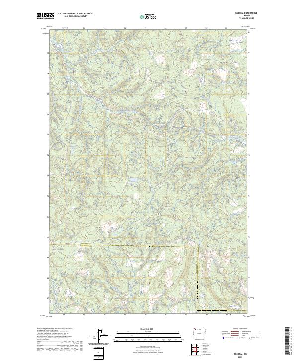
1979 Bacona
Columbia County, OR
1979 Baker Point
Columbia County, OR
1979 Birkenfeld
Columbia County, OR
1979 Clear Creek
Columbia County, OR
1979 Pittsburg
Columbia County, OR
1985 Delena
Columbia County, OR
1985 Marshland
Columbia County, OR
1990 Chapman
Columbia County, OR
1990 Saint Helens
Columbia County, OR
1990 Trenholm
Columbia County, OR
2023 Bacona
Columbia County, OR
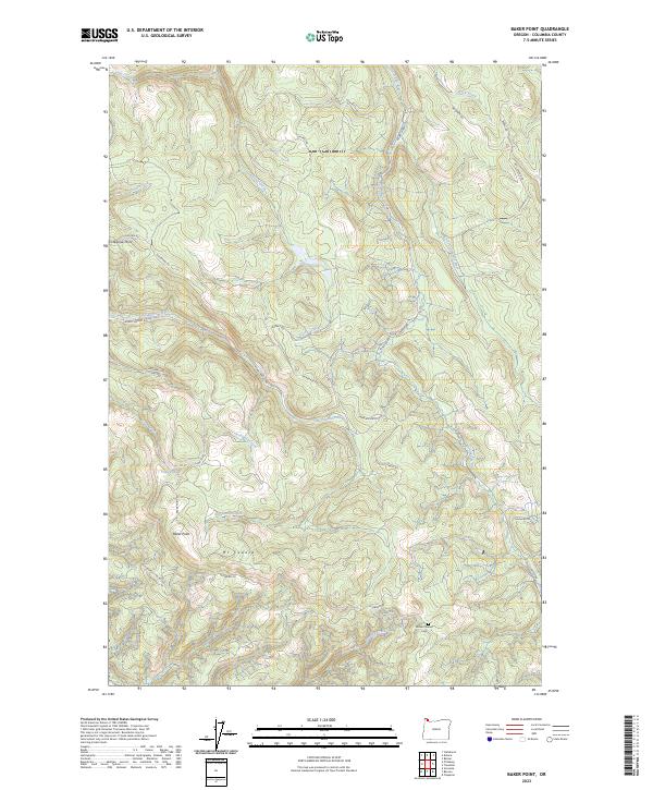
2023 Baker Point
Columbia County, OR
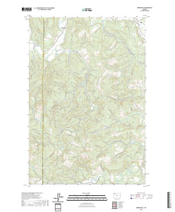
2023 Birkenfeld
Columbia County, OR
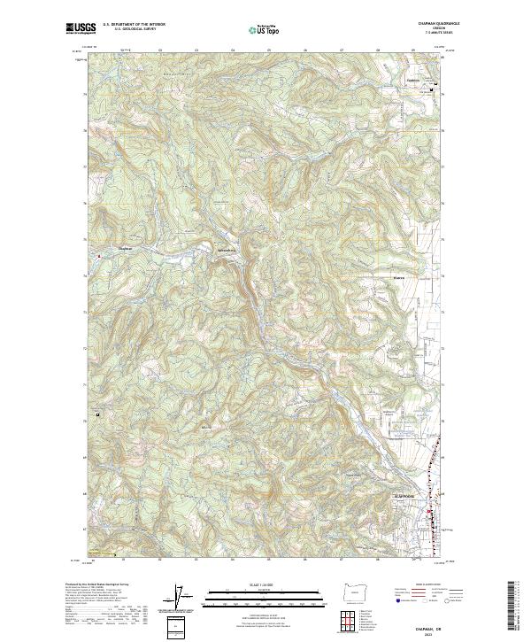
2023 Chapman
Columbia County, OR
2023 Clear Creek
Columbia County, OR
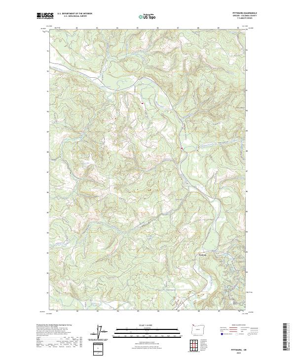
2023 Pittsburg
Columbia County, OR
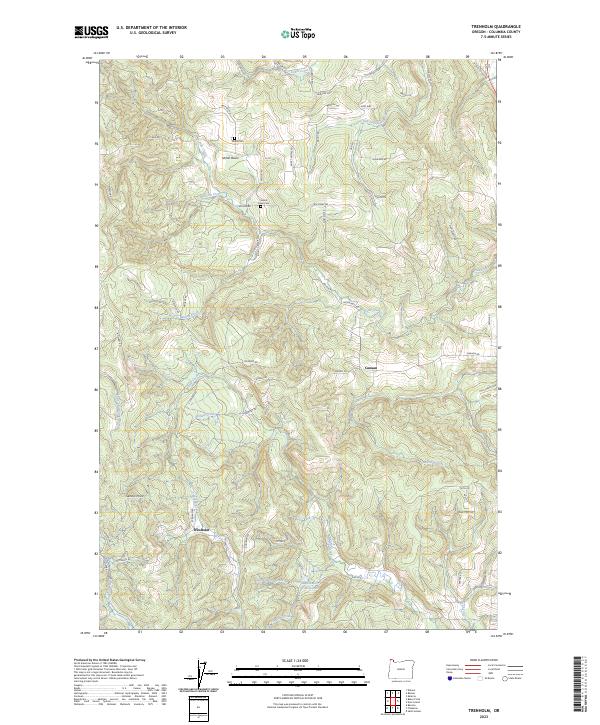
2023 Trenholm
Columbia County, OR
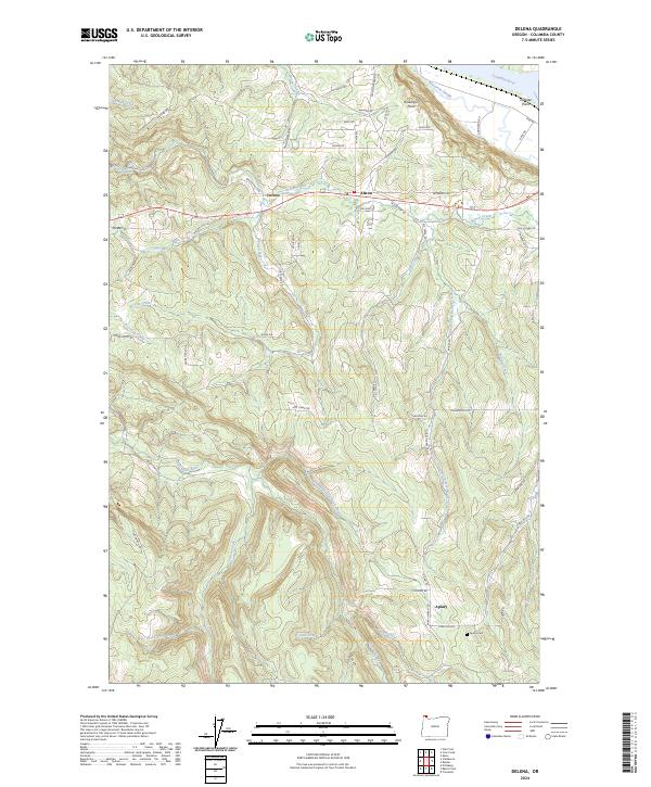
2024 Delena
Columbia County, OR
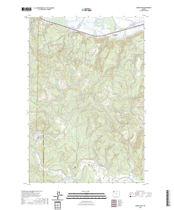
2024 Marshland
Columbia County, OR
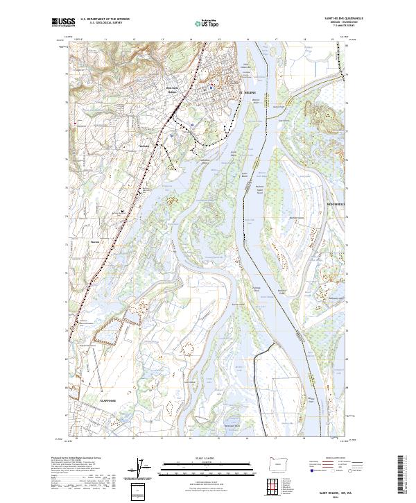
2024 Saint Helens
Columbia County, OR