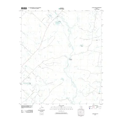
2010 Map of Clear Lake
USGS Topo · Published 2010About this map
The Navasota River meanders through the heart of this landscape, its path defined by numerous creek junctions and localized crossings. Points such as Three Bridges in the north and Democrat Crossing further south highlight historic transit points over the river, connecting rural corridors like Tabor Rd and Democrat Rd. The terrain is punctuated by a network of water bodies, including the namesake Clear Lake and several man-made impoundments like Oakland Lake and Wallace Lake, which supported the agricultural and ranching operations of the region.
Find a feature on this map
49 named features on this map. Tap any name to fly to it.
Don’t see what you’re looking for? This feature index may not catch every label — zoom into the map to look around manually.
Map Details
Editions of this 2010 Clear Lake Map
This is the sole edition of this map. No revisions or reprints were ever made.
Other maps of this area

1925 · Iola No 2
USGS Topo · 1:48,000

1931 · Iola
USGS Topo · 1:62,500

1954 · Austin
USGS Topo · 1:250,000

1956 · Bryan
USGS Topo · 1:62,500

1956 · Carlos
USGS Topo · 1:62,500

1959 · Clear Lake
USGS Topo · 1:24,000

1959 · Reliance
USGS Topo · 1:24,000

1962 · Edge
USGS Topo · 1:24,000

1962 · Keith
USGS Topo · 1:24,000

1962 · Bryan East
USGS Topo · 1:24,000