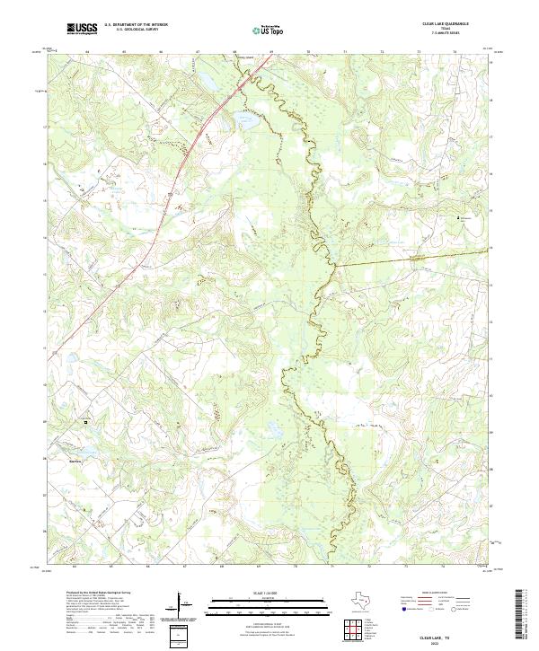
2022 Map of Clear Lake
USGS Topo · Published 2022About this map
The Navasota River meanders along the eastern edge of this Brazos County landscape, defining the county lines with Madison and Grimes. The settlement of Kurten serves as a primary hub in the southwest, situated near a network of rural routes and family-named landmarks. The terrain is characterized by a high concentration of water features and drainage systems, including Clear Lake, Wickson Lake, and Oakland Lake. Genealogists will find notable points of interest in the Williamson Cem and Tryon Cem, which are preserved alongside established ranches like Tejas Ranch Rd and Tauber Ranch Rd. The map illustrates a contemporary rural Texas environment where historical land divisions meet modern road names such as FM 974, tracing the evolution of family holdings through features like Carter Cr and Neville Cr.
Find a feature on this map
66 named features on this map. Tap any name to fly to it.
Don’t see what you’re looking for? This feature index may not catch every label — zoom into the map to look around manually.
Map Details
Editions of this 2022 Clear Lake Map
This is the sole edition of this map. No revisions or reprints were ever made.
Other maps of this area

1925 · Iola No 2
USGS Topo · 1:48,000

1931 · Iola
USGS Topo · 1:62,500

1954 · Austin
USGS Topo · 1:250,000

1956 · Bryan
USGS Topo · 1:62,500

1956 · Carlos
USGS Topo · 1:62,500

1959 · Clear Lake
USGS Topo · 1:24,000

1959 · Reliance
USGS Topo · 1:24,000

1962 · Edge
USGS Topo · 1:24,000

1962 · Keith
USGS Topo · 1:24,000

1962 · Bryan East
USGS Topo · 1:24,000