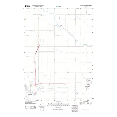
2010 Map of Clear Lake East
USGS Topo · Published 2010About this map
The corridor between Clear Lake and Mason City is defined by a landscape of expanding infrastructure and agricultural transition in the early 21st century. The Mason City Municipal Airport occupies a significant footprint in the central portion of the map, while the development of major transportation routes connects the two urban centers. Regional recreation and community gathering spaces are prominent, including the I-35 Speedway, the North Iowa Fairgrounds, and Registry Park.
Find a feature on this map
48 named features on this map. Tap any name to fly to it.
Don’t see what you’re looking for? This feature index may not catch every label — zoom into the map to look around manually.
Map Details
Editions of this 2010 Clear Lake East Map
This is the sole edition of this map. No revisions or reprints were ever made.
Other maps of this area

1954 · Mason City
USGS Topo · 1:250,000

1957 · Mason City
USGS Topo · 1:250,000

1958 · Mason City
USGS Topo · 1:250,000

1959 · Mason City
USGS Topo · 1:24,000

1959 · Mason City
USGS Topo · 1:62,500

1959 · Hanford
USGS Topo · 1:24,000

1972 · Clear Lake West
USGS Topo · 1:24,000

1972 · Manly
USGS Topo · 1:24,000

1972 · Fertile
USGS Topo · 1:24,000

1972 · Burchinal
USGS Topo · 1:24,000