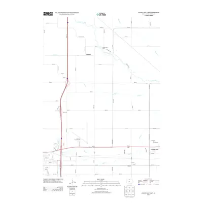
2013 Map of Clear Lake East
USGS Topo · Published 2013About this map
Mason City Municipal Airport and the sprawling North Iowa Fairgrounds dominate the landscape of eastern Cerro Gordo County in this early 21st-century record. The area is defined by a dense grid of rural roads and the meandering path of the Winnebago River, which snakes across the northern sections. Several smaller tributaries, including Willow Cr, Calmus Cr, and Clear Cr, converge toward the regional hub of Mason City, illustrating the complex hydrology of this agricultural and transit corridor.
Find a feature on this map
72 named features on this map. Tap any name to fly to it.
Don’t see what you’re looking for? This feature index may not catch every label — zoom into the map to look around manually.
Map Details
Editions of this 2013 Clear Lake East Map
This is the sole edition of this map. No revisions or reprints were ever made.
Other maps of this area

1954 · Mason City
USGS Topo · 1:250,000

1957 · Mason City
USGS Topo · 1:250,000

1958 · Mason City
USGS Topo · 1:250,000

1959 · Mason City
USGS Topo · 1:24,000

1959 · Mason City
USGS Topo · 1:62,500

1959 · Hanford
USGS Topo · 1:24,000

1972 · Clear Lake West
USGS Topo · 1:24,000

1972 · Manly
USGS Topo · 1:24,000

1972 · Fertile
USGS Topo · 1:24,000

1972 · Burchinal
USGS Topo · 1:24,000