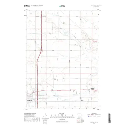
2018 Map of Clear Lake East
USGS Topo · Published 2018About this map
Mason City and Clear Lake are connected by a corridor of transportation and infrastructure in this 2018 survey. The landscape is defined by the east-west transit of 4th St SW, which passes the Mason City Municipal Airport and the small settlement of Emery. The hydrology of the region is complex, with the Winnebago River meandering through the northern sections while Willow Cr and Calmus Cr drain the central and southern plains. Genealogy researchers can identify several significant burial sites, including Lincoln Cem in the north and both Clear Lake Cem and Memorial Park Cem further south. The map illustrates the modern spatial relationship between these two primary Cerro Gordo County population centers, showing the transition from urban streets like Main Ave to the gridded rural section roads of the surrounding township.
Find a feature on this map
42 named features on this map. Tap any name to fly to it.
Don’t see what you’re looking for? This feature index may not catch every label — zoom into the map to look around manually.
Map Details
Editions of this 2018 Clear Lake East Map
This is the sole edition of this map. No revisions or reprints were ever made.
Other maps of this area

1954 · Mason City
USGS Topo · 1:250,000

1957 · Mason City
USGS Topo · 1:250,000

1958 · Mason City
USGS Topo · 1:250,000

1959 · Mason City
USGS Topo · 1:24,000

1959 · Mason City
USGS Topo · 1:62,500

1959 · Hanford
USGS Topo · 1:24,000

1972 · Clear Lake West
USGS Topo · 1:24,000

1972 · Manly
USGS Topo · 1:24,000

1972 · Fertile
USGS Topo · 1:24,000

1972 · Burchinal
USGS Topo · 1:24,000