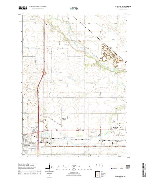
2022 Map of Clear Lake East
USGS Topo · Published 2022About this map
The Winnebago River meanders across the northern portion of this Cerro Gordo County landscape, defining a rural corridor between the growing footprints of Clear Lake and Mason City. This survey captures the transition from agricultural tracts to municipal development, centered on the Mason City Municipal Airport. Local history is preserved in several prominent grounds, including Lincoln Cem to the north and the Clear Lake Cem situated near the city limits.
Find a feature on this map
65 named features on this map. Tap any name to fly to it.
Don’t see what you’re looking for? This feature index may not catch every label — zoom into the map to look around manually.
Map Details
Editions of this 2022 Clear Lake East Map
This is the sole edition of this map. No revisions or reprints were ever made.
Other maps of this area

1954 · Mason City
USGS Topo · 1:250,000

1957 · Mason City
USGS Topo · 1:250,000

1958 · Mason City
USGS Topo · 1:250,000

1959 · Mason City
USGS Topo · 1:24,000

1959 · Mason City
USGS Topo · 1:62,500

1959 · Hanford
USGS Topo · 1:24,000

1972 · Clear Lake West
USGS Topo · 1:24,000

1972 · Manly
USGS Topo · 1:24,000

1972 · Fertile
USGS Topo · 1:24,000

1972 · Burchinal
USGS Topo · 1:24,000