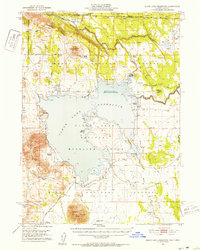
1951 Map of Clear Lake Reservoir
USGS Topo · Published 1952About this map
Modoc National Forest dominates this northern California landscape, centered on the expansive waters of the Clear Lake Reservoir. Established as the Clear Lake National Wildlife Refuge, the area preserves a rugged volcanic terrain marked by natural formations like the Mowitz Rock Wall and prominent peaks including Double Head Mtn and Carr Butte. In the mid-twentieth century, the region remained largely dedicated to ranching and timber, with isolated outposts such as McNeil Ranch and Holbrook Ranch serving as focal points for local land use.
Find a feature on this map
52 named features on this map. Tap any name to fly to it.
Don’t see what you’re looking for? This feature index may not catch every label — zoom into the map to look around manually.
Map Details
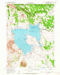
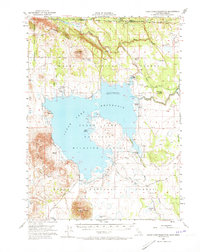
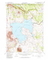
Editions of this 1951 Clear Lake Reservoir Map
5 editions found
Other maps of this area

1886 · Alturas
USGS Topo · 1:250,000

1886 · Modoc Lava Bed
USGS Topo · 1:250,000

1889 · Klamath
USGS Topo · 1:250,000

1892 · Modoc Lava-Bed
USGS Topo · 1:250,000

1892 · Alturas
USGS Topo · 1:250,000

1894 · Klamath
USGS Topo · 1:250,000

1951 · Clear Lake Reservoir
USGS Topo · 1:62,500

1951 · Tulelake
USGS Topo · 1:62,500

1952 · Timber Mountain
USGS Topo · 1:62,500

1952 · Hackamore
USGS Topo · 1:62,500