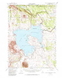
1951 Map of Clear Lake Reservoir
USGS Topo · Published 1984About this map
Clear Lake Reservoir dominates this high-plateau landscape along the Oregon California State Line, where the Lost River winds through the northern reaches of the Modoc National Forest. The map documents a sparsely populated ranching territory characterized by family-named holdings such as Holbrook Ranch, Chandler Ranch, and the McNeil Ranch. A historical layer is visible through the path of the Emigrant Trail, which traverses the terrain north of the reservoir near Fiddlers Green.
Find a feature on this map
38 named features on this map. Tap any name to fly to it.
Don’t see what you’re looking for? This feature index may not catch every label — zoom into the map to look around manually.
Map Details
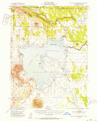
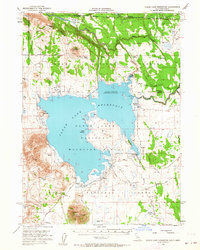
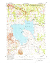
Editions of this 1951 Clear Lake Reservoir Map
5 editions found
Other maps of this area

1886 · Alturas
USGS Topo · 1:250,000

1886 · Modoc Lava Bed
USGS Topo · 1:250,000

1889 · Klamath
USGS Topo · 1:250,000

1892 · Modoc Lava-Bed
USGS Topo · 1:250,000

1892 · Alturas
USGS Topo · 1:250,000

1894 · Klamath
USGS Topo · 1:250,000

1951 · Clear Lake Reservoir
USGS Topo · 1:62,500

1951 · Tulelake
USGS Topo · 1:62,500

1952 · Timber Mountain
USGS Topo · 1:62,500

1952 · Hackamore
USGS Topo · 1:62,500