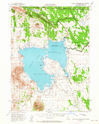
1951 Map of Clear Lake Reservoir
USGS Topo · Published 1964About this map
The Clear Lake Reservoir dominates this high-plateau landscape along the Oregon California State Line, where the waters are managed within the Clear Lake National Wildlife Refuge. The map reveals a land defined by early ranching and migration, specifically tracing the historic Emigrant Trail as it skirts the southern edge of the reservoir. Family-named outposts such as Holbrook Ranch, McNeil Ranch, and Chandler Ranch indicate the primary human footprint in this corner of the Modoc National Forest during the mid-20th century. The intricate shoreline of the reservoir, including Bird Island and Squatty, highlights the controlled inundation levels of the era, while the surrounding terrain is marked by distinctive volcanic features like Carr Butte and Double Head Mtn. Significant watercourses, including the Lost River and Rock Creek, tie the hydrology of the basin together, serving as critical points for surveying and water management near Walter Flat.
Find a feature on this map
44 named features on this map. Tap any name to fly to it.
Don’t see what you’re looking for? This feature index may not catch every label — zoom into the map to look around manually.
Map Details
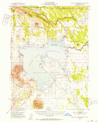
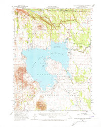
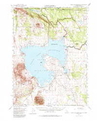
Editions of this 1951 Clear Lake Reservoir Map
5 editions found
Other maps of this area

1886 · Alturas
USGS Topo · 1:250,000

1886 · Modoc Lava Bed
USGS Topo · 1:250,000

1889 · Klamath
USGS Topo · 1:250,000

1892 · Modoc Lava-Bed
USGS Topo · 1:250,000

1892 · Alturas
USGS Topo · 1:250,000

1894 · Klamath
USGS Topo · 1:250,000

1951 · Clear Lake Reservoir
USGS Topo · 1:62,500

1951 · Tulelake
USGS Topo · 1:62,500

1952 · Timber Mountain
USGS Topo · 1:62,500

1952 · Hackamore
USGS Topo · 1:62,500