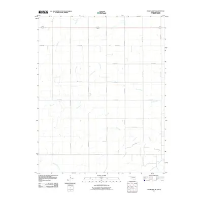
2010 Map of Clear Lake SE
USGS Topo · Published 2010About this map
Don Jose Creek and Sand Creek carve through the high plains of the Oklahoma Panhandle, illustrating a landscape defined by its drainages and a rigid section-line road grid. The map reveals the hydraulic geometry of Beaver County, where intermittent waterways like Coon Creek move toward the North Fork Kiowa Creek at the southern edge of the sheet. This area is organized by an extensive network of hollow-coded local roads, such as Hollow N1510 and Hollow E0280, which follow the cardinal directions of the original land surveys. The lack of concentrated settlements highlights the vast, open character of this ranching and farming country, where life centers on the management of water and the accessibility of the remote road network during the early 21st century.
Find a feature on this map
19 named features on this map. Tap any name to fly to it.
Don’t see what you’re looking for? This feature index may not catch every label — zoom into the map to look around manually.
Map Details
Editions of this 2010 Clear Lake SE Map
This is the sole edition of this map. No revisions or reprints were ever made.
Other maps of this area

1954 · Perryton
USGS Topo · 1:250,000

1958 · Perryton
USGS Topo · 1:250,000

1971 · Clear Lake NW
USGS Topo · 1:24,000

1971 · Clear Lake SW
USGS Topo · 1:24,000

1971 · Clear Lake
USGS Topo · 1:24,000

1971 · Clear Lake SE
USGS Topo · 1:24,000

1971 · Logan
USGS Topo · 1:24,000

1971 · Logan NW
USGS Topo · 1:24,000

1972 · Follett
USGS Topo · 1:24,000

1972 · Darrouzett
USGS Topo · 1:24,000