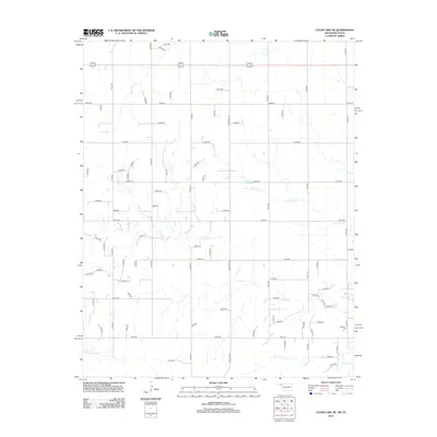
2012 Map of Clear Lake SE
USGS Topo · Published 2012About this map
Hydrological patterns and an organized section-line road network define this portion of the Oklahoma Panhandle near the Texas border. The landscape is etched by a series of intermittent watercourses including Sand Cr in the northwest and the winding path of Coon Cr, which drains toward the southeast. These drainages provide a natural contrast to the rigid geometry of the county road system, where routes like E0280 Rd and E0300 Rd maintain the township and range survey grid. Along the southern edge, the terrain transitions toward the valley of the Kiowa Cr and its North Fork, which show the characteristic meandering of High Plains streams. The lack of concentrated settlements highlights a rural economy dependent on the accessibility provided by these graded roads and the primary arterial crossing of U.S. Routes 270 and 412.
Find a feature on this map
67 named features on this map. Tap any name to fly to it.
Don’t see what you’re looking for? This feature index may not catch every label — zoom into the map to look around manually.
Map Details
Editions of this 2012 Clear Lake SE Map
This is the sole edition of this map. No revisions or reprints were ever made.
Other maps of this area

1954 · Perryton
USGS Topo · 1:250,000

1958 · Perryton
USGS Topo · 1:250,000

1971 · Clear Lake NW
USGS Topo · 1:24,000

1971 · Clear Lake SW
USGS Topo · 1:24,000

1971 · Clear Lake
USGS Topo · 1:24,000

1971 · Clear Lake SE
USGS Topo · 1:24,000

1971 · Logan
USGS Topo · 1:24,000

1971 · Logan NW
USGS Topo · 1:24,000

1972 · Follett
USGS Topo · 1:24,000

1972 · Darrouzett
USGS Topo · 1:24,000