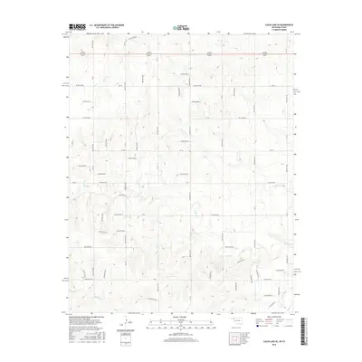
2016 Map of Clear Lake SE
USGS Topo · Published 2016About this map
The High Plains of the Oklahoma Panhandle are defined here by a series of seasonal drainages and topographic depressions in the northeastern reaches of Beaver County. Watercourses including Sand Cr, Don Jose Cr, and Coon Cr cut across a landscape otherwise structured by a rigid sectional road grid. The presence of numerous named hollows, such as Hollow E0267 and Hollow E0347, indicates a complex system of natural catchments and erosion patterns typical of this semi-arid region. In the south, the terrain descends toward N Fork Kiowa Cr and the main channel of Kiowa Cr. This 2016 survey documents the enduring spatial layout of the rural interior, where the intersection of US Highway 270 412 and north-south section roads like NS-150 facilitate movement across the cattle and wheat country near the Texas state line.
Find a feature on this map
43 named features on this map. Tap any name to fly to it.
Don’t see what you’re looking for? This feature index may not catch every label — zoom into the map to look around manually.
Map Details
Editions of this 2016 Clear Lake SE Map
This is the sole edition of this map. No revisions or reprints were ever made.
Other maps of this area

1954 · Perryton
USGS Topo · 1:250,000

1958 · Perryton
USGS Topo · 1:250,000

1971 · Clear Lake NW
USGS Topo · 1:24,000

1971 · Clear Lake SW
USGS Topo · 1:24,000

1971 · Clear Lake
USGS Topo · 1:24,000

1971 · Clear Lake SE
USGS Topo · 1:24,000

1971 · Logan
USGS Topo · 1:24,000

1971 · Logan NW
USGS Topo · 1:24,000

1972 · Follett
USGS Topo · 1:24,000

1972 · Darrouzett
USGS Topo · 1:24,000