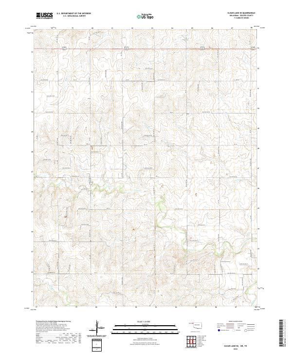
2022 Map of Clear Lake SE
USGS Topo · Published 2022About this map
Intermittent watercourses and a systematic grid of section roads characterize this portion of Beaver County in the Oklahoma Panhandle. The landscape is defined by the drainage patterns of Coon Cr and Don Jose Cr, which carve through the high plains terrain. This 2022 survey illustrates a sparsely populated agricultural region where transportation relies on a established network of east-west routes like Ew-30 and Ew-34. The map provides a clear record of the Public Land Survey System divisions, showing the boundaries between t1n r25e and t1n r26e. Further south, the flow of Kiowa Cr and its tributary, N Fork Kiowa Cr, anchor the local geography, reflecting the essential relationship between water sources and land management in this semi-arid part of the state.
Find a feature on this map
15 named features on this map. Tap any name to fly to it.
Don’t see what you’re looking for? This feature index may not catch every label — zoom into the map to look around manually.
Map Details
Editions of this 2022 Clear Lake SE Map
This is the sole edition of this map. No revisions or reprints were ever made.
Other maps of this area

1954 · Perryton
USGS Topo · 1:250,000

1958 · Perryton
USGS Topo · 1:250,000

1971 · Clear Lake NW
USGS Topo · 1:24,000

1971 · Clear Lake SW
USGS Topo · 1:24,000

1971 · Clear Lake
USGS Topo · 1:24,000

1971 · Clear Lake SE
USGS Topo · 1:24,000

1971 · Logan
USGS Topo · 1:24,000

1971 · Logan NW
USGS Topo · 1:24,000

1972 · Follett
USGS Topo · 1:24,000

1972 · Darrouzett
USGS Topo · 1:24,000