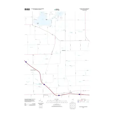
2013 Map of Clear Lake
USGS Topo · Published 2013About this map
Clear Lake anchors the northern landscape of this tri-state border region, where the boundaries of Indiana, Ohio, and Michigan converge. The surrounding terrain is defined by a dense network of glacial water bodies, including Round Lake, Lake Anne, and Handy Lake, linked by a system of agricultural drainage such as Ryan Ditch and the Mill Stream Drain. This era of the landscape shows a transition between the recreation-focused shoreline near Paradise Point and the heavy transport infrastructure to the south. Interstate 80/90 cuts a prominent diagonal across the lower half of the map, supporting commercial hubs like Eastpoint Terminal and Westgate Terminal. Rural life continues in small settlements and crossroads like Billingstown, York, and Columbia, while family-named landmarks like Stallman Bridge and Courtney Corner provide specific points of reference for local historians and genealogists tracking the development of Williams County and the adjacent Indiana townships.
Find a feature on this map
66 named features on this map. Tap any name to fly to it.
Don’t see what you’re looking for? This feature index may not catch every label — zoom into the map to look around manually.
Map Details
Editions of this 2013 Clear Lake Map
This is the sole edition of this map. No revisions or reprints were ever made.
Other maps of this area

1914 · Pioneer
USGS Topo · 1:62,500

1939 · Hamilton
USGS Topo · 1:24,000

1939 · Angola East
USGS Topo · 1:24,000

1939 · Clear Lake
USGS Topo · 1:24,000

1940 · Metz
USGS Topo · 1:24,000

1940 · Clear Lake
USGS Topo · 1:24,000

1944 · Pioneer
USGS Topo · 1:62,500

1947 · Angola East
USGS Topo · 1:24,000

1948 · Hamilton
USGS Topo · 1:24,000

1953 · Fort Wayne
USGS Topo · 1:250,000