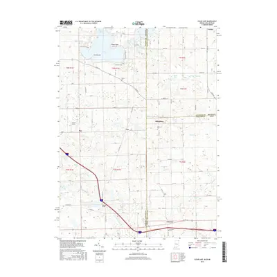
2016 Map of Clear Lake
USGS Topo · Published 2016About this map
The tri-state corner where Indiana, Michigan, and Ohio converge centers on a landscape defined by glacial lakes and small rural settlements. Clear Lake dominates the northern topography, flanked by Paradise Point and smaller water bodies like Lake Anne and Mirror Lake. The surveyor's lines for Steuben County and Hillsdale County meet here, marking a significant political intersection.
Find a feature on this map
58 named features on this map. Tap any name to fly to it.
Don’t see what you’re looking for? This feature index may not catch every label — zoom into the map to look around manually.
Map Details
Editions of this 2016 Clear Lake Map
This is the sole edition of this map. No revisions or reprints were ever made.
Other maps of this area

1914 · Pioneer
USGS Topo · 1:62,500

1939 · Hamilton
USGS Topo · 1:24,000

1939 · Angola East
USGS Topo · 1:24,000

1939 · Clear Lake
USGS Topo · 1:24,000

1940 · Metz
USGS Topo · 1:24,000

1940 · Clear Lake
USGS Topo · 1:24,000

1944 · Pioneer
USGS Topo · 1:62,500

1947 · Angola East
USGS Topo · 1:24,000

1948 · Hamilton
USGS Topo · 1:24,000

1953 · Fort Wayne
USGS Topo · 1:250,000