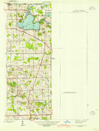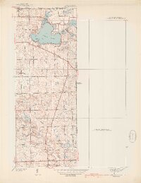
1939 Map of Clear Lake
USGS Topo · Published 1939About this map
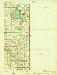
The tri-state junction of Indiana, Michigan, and Ohio defines the character of this late-1930s landscape, centered on the glacial waters of Clear Lake. This survey by Albert Pike and G. A. Mock reveals a rural society built around local lake points and small crossroad settlements like York and Ray. Genealogists will find significant detail in the distribution of family-named sites, including Covenant Cem, Teeters Cem, and Dygert Cem, alongside community landmarks such as Clear Lake Ch and Powers Ch. The terrain is marked by complex drainage patterns, where Gundrum Ditch and the West Branch of Fish Creek snake through lowlands like Big Swamp and Barnes Swamp. This map provides a clear view of the transportation network before modern expansion, featuring State Highway No 120 and Highway No 20 as they navigate the area's many kettle lakes, from Round Lake to Handy Lake.
Find a feature on this map
35 named features on this map. Tap any name to fly to it.
Don’t see what you’re looking for? This feature index may not catch every label — zoom into the map to look around manually.
Map Details
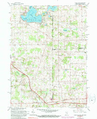
Editions of this 1939 Clear Lake Map
2 editions found
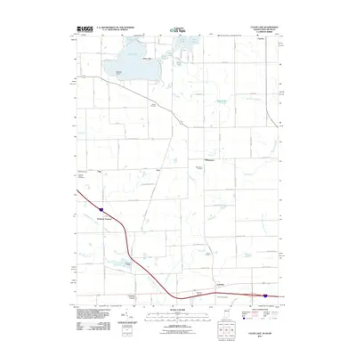
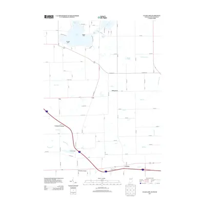
Historical Maps of Northwest Township Through Time
9 maps found