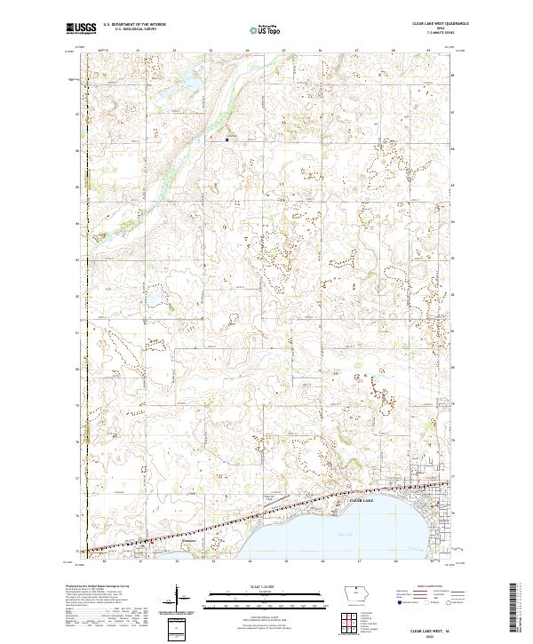
2022 Map of Clear Lake West
USGS Topo · Published 2022About this map
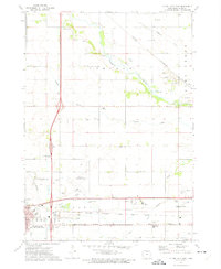
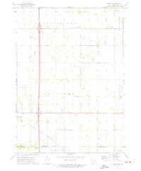
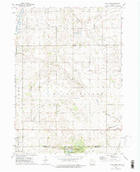
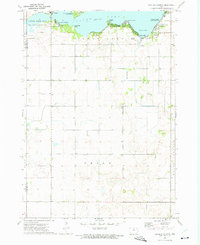
Clear Lake anchors the southern edge of this landscape, its northern shoreline defined by Relly Point and residential streets like Sunset View Dr. The town of Ventura sits at the western tip of the lake, where a network of rural roads such as Co Rd B30 and Balsam Ave connects the lakeside community to the agricultural hinterlands. Further north, the terrain is shaped by the Winnebago River and Willow Cr, which drain the prairie landscape. Genealogists and local historians will note the presence of Grant Cem located centrally within the township grid. The map also captures local landmarks such as Plain Ol' Field and the memorialized Buddy Holly Pl, reflecting the intersection of local geography and cultural history in Cerro Gordo County.
Find a feature on this map
70 named features on this map. Tap any name to fly to it.
Don’t see what you’re looking for? This feature index may not catch every label — zoom into the map to look around manually.
Map Details
Editions of this 2022 Clear Lake West Map
This is the sole edition of this map. No revisions or reprints were ever made.
Other maps of this area

1954 · Mason City
USGS Topo · 1:250,000

1957 · Mason City
USGS Topo · 1:250,000

1958 · Mason City
USGS Topo · 1:250,000
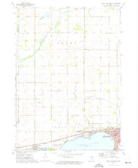
1972 · Clear Lake West
USGS Topo · 1:24,000
1972 · Fertile
USGS Topo · 1:24,000
1972 · Burchinal
USGS Topo · 1:24,000
1972 · Clear Lake East
USGS Topo · 1:24,000
1972 · Fertile SE
USGS Topo · 1:24,000
1972 · Pilot Knob
USGS Topo · 1:24,000
1972 · Ventura Heights
USGS Topo · 1:24,000