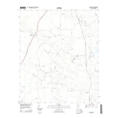
2014 Map of Clear Pond
USGS Topo · Published 2014About this map
The Little Salkehatchie River defines the landscape of this Bamberg County region, winding through a network of creeks and branches that historically shaped local settlement patterns. Small communities like Springtown, Hughes, and the namesake Clear Pond are connected by a web of rural routes such as Springtown Rd and Broxton Brg Rd. The area is notably marked by family and community landmarks, including the Odom Bridge crossing and several burial grounds like Mitchell Cem, McMillian Cem, and Folk Cem.
Find a feature on this map
55 named features on this map. Tap any name to fly to it.
Don’t see what you’re looking for? This feature index may not catch every label — zoom into the map to look around manually.
Map Details
Editions of this 2014 Clear Pond Map
This is the sole edition of this map. No revisions or reprints were ever made.
Other maps of this area

1919 · Olar
USGS Topo · 1:62,500

1919 · Bamberg
USGS Topo · 1:48,000

1919 · Lodge
USGS Topo · 1:62,500

1920 · Lodge
USGS Topo · 1:48,000

1920 · Bamberg
USGS Topo · 1:62,500

1920 · Orangeburg
USGS Topo · 1:48,000

1921 · Orangeburg
USGS Topo · 1:62,500

1921 · Lodge
USGS Topo · 1:62,500

1943 · Olar
USGS Topo · 1:62,500

1943 · Lodge
USGS Topo · 1:62,500