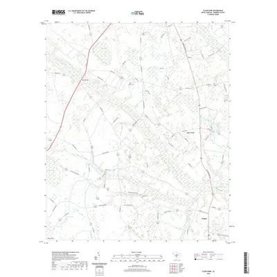
2020 Map of Clear Pond
USGS Topo · Published 2020About this map
The Little Salkehatchie River meanders southeastward through this Lowcountry landscape, defining a terrain shaped by blackwater tributaries and numerous bay depressions. To the east, the settlement of Clear Pond sits near its eponymous water body and Little Clear Pond, while the community of Hughes anchors the southeastern corner. The map reflects a deeply rooted rural geography where family names are etched into the land via locations like Odom Bridge and cemeteries such as Folk Cem and McMillian Cem.
Find a feature on this map
70 named features on this map. Tap any name to fly to it.
Don’t see what you’re looking for? This feature index may not catch every label — zoom into the map to look around manually.
Map Details
Editions of this 2020 Clear Pond Map
This is the sole edition of this map. No revisions or reprints were ever made.
Other maps of this area

1919 · Olar
USGS Topo · 1:62,500

1919 · Bamberg
USGS Topo · 1:48,000

1919 · Lodge
USGS Topo · 1:62,500

1920 · Lodge
USGS Topo · 1:48,000

1920 · Bamberg
USGS Topo · 1:62,500

1920 · Orangeburg
USGS Topo · 1:48,000

1921 · Orangeburg
USGS Topo · 1:62,500

1921 · Lodge
USGS Topo · 1:62,500

1943 · Olar
USGS Topo · 1:62,500

1943 · Lodge
USGS Topo · 1:62,500