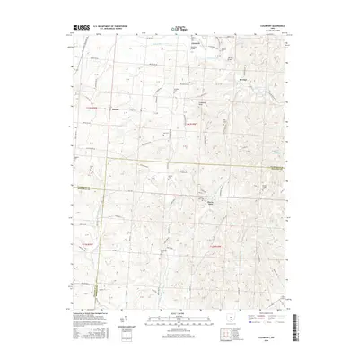
2016 Map of Clearport
USGS Topo · Published 2016About this map
Clearport and the settlement of Revenge anchor this survey of the tri-county borderlands where Fairfield, Hocking, and Pickaway counties meet. The landscape is defined by the winding course of Clear Creek and its many tributaries, including Arney Run, Muddy Prairie Run, and Long Run. Prominent relief like Emmanuel Knob rises above the valley floors, providing a view of a region characterized by a dense network of country roads such as Chillicothe Lancaster Rd and Revenge Rd SW.
Find a feature on this map
88 named features on this map. Tap any name to fly to it.
Don’t see what you’re looking for? This feature index may not catch every label — zoom into the map to look around manually.
Map Details
Editions of this 2016 Clearport Map
This is the sole edition of this map. No revisions or reprints were ever made.
Other maps of this area

1906 · Chillicothe
USGS Topo · 1:62,500

1907 · Lancaster
USGS Topo · 1:62,500

1908 · Chillicothe
USGS Topo · 1:62,500

1909 · Lancaster
USGS Topo · 1:62,500

1910 · Laurelville
USGS Topo · 1:62,500

1912 · Laurelville
USGS Topo · 1:62,500

1914 · Circleville
USGS Topo · 1:62,500

1943 · Circleville
USGS Topo · 1:62,500

1944 · Laurelville
USGS Topo · 1:62,500

1947 · Columbus
USGS Topo · 1:250,000