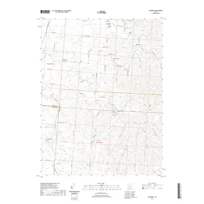
2019 Map of Clearport
USGS Topo · Published 2019About this map
Clearport and the surrounding township terrain are defined by a complex network of streams and ridges where Fairfield, Pickaway, and Hocking counties meet. The landscape is marked by prominent elevations like Emmanuel Knob and numerous watercourses including Clear Creek and Middle Fork Laurel Run. Settlement patterns here are tied to historic rural centers such as Drinkle and the evocatively named Revenge, connected by winding roads like Chillicothe Lancaster Rd and Clearport Rd SW.
Find a feature on this map
85 named features on this map. Tap any name to fly to it.
Don’t see what you’re looking for? This feature index may not catch every label — zoom into the map to look around manually.
Map Details
Editions of this 2019 Clearport Map
This is the sole edition of this map. No revisions or reprints were ever made.
Other maps of this area

1906 · Chillicothe
USGS Topo · 1:62,500

1907 · Lancaster
USGS Topo · 1:62,500

1908 · Chillicothe
USGS Topo · 1:62,500

1909 · Lancaster
USGS Topo · 1:62,500

1910 · Laurelville
USGS Topo · 1:62,500

1912 · Laurelville
USGS Topo · 1:62,500

1914 · Circleville
USGS Topo · 1:62,500

1943 · Circleville
USGS Topo · 1:62,500

1944 · Laurelville
USGS Topo · 1:62,500

1947 · Columbus
USGS Topo · 1:250,000