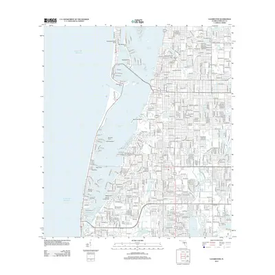
2012 Map of Clearwater
USGS Topo · Published 2012About this map
The complex barrier island and estuarine systems of the Gulf coast define this Pinellas County landscape. Clearwater Harbor separates the dense mainland development from Clearwater Beach Island and Sand Key Park, linked by a intricate network of named channels like the Mandalay Channel and Pope Channel. This 2012 survey illustrates the intense urban density of the early 21st century, where residential neighborhoods surround landmarks such as Jack Russell Stadium and the Clearwater Air Park. To the south, the terrain transitions into a region of significant water management and recreational spaces, including the Walsingham Reservoir and the northern reaches of Lake Seminole. Local history is preserved at the Rousseau Pioneer Cem and larger memorial grounds like Serenity Gardens Memorial Park, situated among the residential blocks and coastal inlets.
Find a feature on this map
44 named features on this map. Tap any name to fly to it.
Don’t see what you’re looking for? This feature index may not catch every label — zoom into the map to look around manually.
Map Details
Editions of this 2012 Clearwater Map
This is the sole edition of this map. No revisions or reprints were ever made.
Other maps of this area

1921 · Sand Key
USGS Topo · 1:62,500

1921 · St Petersburg
USGS Topo · 1:62,500

1943 · St Petersburg
USGS Topo · 1:31,680

1943 · Bay Pines
USGS Topo · 1:31,680

1943 · Safety Harbor
USGS Topo · 1:31,680

1943 · Dunedin
USGS Topo · 1:31,680

1943 · Clearwater
USGS Topo · 1:24,000

1943 · Oldsmar
USGS Topo · 1:24,000

1944 · Oldsmar
USGS Topo · 1:31,680

1947 · St Petersburg
USGS Topo · 1:25,000