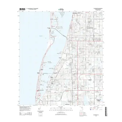
2015 Map of Clearwater
USGS Topo · Published 2015About this map
Clearwater and its surrounding coastal communities are shown here in a period of dense suburban and maritime development. The map details the intricate geography of the Gulf coast, from the barrier island of Clearwater Beach and Clearwater Point to the protected waters of Clearwater Harbor. Inland, the landscape is defined by a series of residential clusters including Belleair, Largo, and Ridgecrest, interspersed with numerous freshwater bodies like Taylor Lake and Lake Seminole.
Find a feature on this map
60 named features on this map. Tap any name to fly to it.
Don’t see what you’re looking for? This feature index may not catch every label — zoom into the map to look around manually.
Map Details
Editions of this 2015 Clearwater Map
This is the sole edition of this map. No revisions or reprints were ever made.
Other maps of this area

1921 · Sand Key
USGS Topo · 1:62,500

1921 · St Petersburg
USGS Topo · 1:62,500

1943 · St Petersburg
USGS Topo · 1:31,680

1943 · Bay Pines
USGS Topo · 1:31,680

1943 · Safety Harbor
USGS Topo · 1:31,680

1943 · Dunedin
USGS Topo · 1:31,680

1943 · Clearwater
USGS Topo · 1:24,000

1943 · Oldsmar
USGS Topo · 1:24,000

1944 · Oldsmar
USGS Topo · 1:31,680

1947 · St Petersburg
USGS Topo · 1:25,000