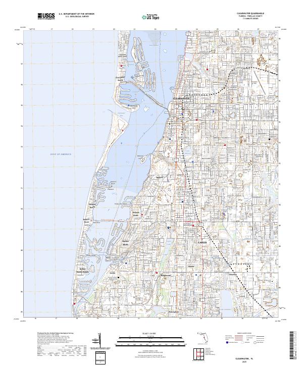
2025 Map of Clearwater
USGS Topo · Published 2025About this map
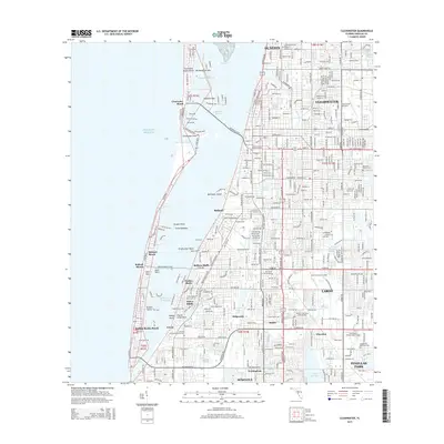
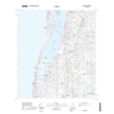
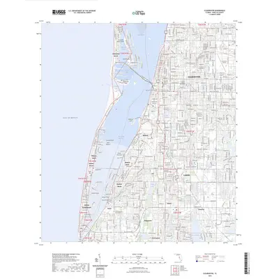
Clearwater and its surrounding coastal communities are shown here in extensive detail, documenting the densely developed Pinellas County shoreline. The geography is defined by the complex relationship between the mainland and the barrier islands, connected by the Clearwater Memorial Cswy and the Belleair Causeway Trl. To the west, the Gulf of America meets Sand Key and Clearwater Beach Island, while the Intracoastal Waterway provides a protected passage through Clearwater Harbor and The Narrows.
Find a feature on this map
53 named features on this map. Tap any name to fly to it.
Don’t see what you’re looking for? This feature index may not catch every label — zoom into the map to look around manually.
Map Details
Editions of this 2025 Clearwater Map
This is the sole edition of this map. No revisions or reprints were ever made.
Historical Maps of Clearwater Through Time
9 maps found
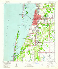
1943 Clearwater
Pinellas County, FL
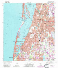
1974 Clearwater
Pinellas County, FL
1995 Clearwater
Pinellas County, FL

2012 Clearwater
Pinellas County, FL
2015 Clearwater
Pinellas County, FL

2018 Clearwater
Pinellas County, FL
2021 Clearwater
Pinellas County, FL
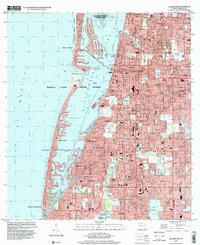
2024 Clearwater
Pinellas County, FL
2025 Clearwater
Pinellas County, FL