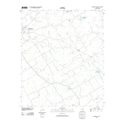
2010 Map of Cleburne East
USGS Topo · Published 2010About this map
Cleburne anchors the western edge of this landscape, where the urban grid gives way to the drainage systems of the Middle Fork South Fork Chambers Creek and Mustang Creek. This 2010 survey highlights a transition from the dense residential planning of eastern Cleburne to the rural expanses of Johnson County. The area is defined by its small aviation facilities, such as Embry Ranch Airport and Cow Pasture Airport, alongside numerous flood control structures like Soil Conservation Service Site 37 Dam. Local history is deeply etched into the land through several burial grounds, including the large Cleburne Memorial Park, Rose Hill Cemetery, and the more secluded Faulkenbury Cemetery to the southeast. To the east, smaller community identifiers like Sand Flat and Cuba mark the rural crossroads that define the region's historical settlement pattern before reaching the shores of Lake Alvarado.
Find a feature on this map
74 named features on this map. Tap any name to fly to it.
Don’t see what you’re looking for? This feature index may not catch every label — zoom into the map to look around manually.
Map Details
Editions of this 2010 Cleburne East Map
This is the sole edition of this map. No revisions or reprints were ever made.
Other maps of this area

1891 · Cleburne
USGS Topo · 1:125,000

1894 · Cleburne
USGS Topo · 1:125,000

1924 · Cleburne 3-B
USGS Topo · 1:48,000

1927 · Blum
USGS Topo · 1:62,500

1954 · Dallas
USGS Topo · 1:250,000

1958 · Dallas
USGS Topo · 1:250,000

1960 · Keene
USGS Topo · 1:24,000

1960 · Cleburne East
USGS Topo · 1:24,000
1961 · Cleburne West
USGS Topo · 1:24,000

1961 · Alvarado
USGS Topo · 1:24,000