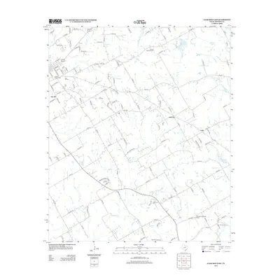
2012 Map of Cleburne East
USGS Topo · Published 2012About this map
Mustang Creek and its many tributaries, including Lockett Branch and Boss Branch, define the rolling drainage of eastern Johnson County. This 2012 survey illustrates the outward growth of Cleburne into rural communities such as Oak Hill, Sand Flat, and Cuba. The landscape is a patchwork of agricultural land and small airfields, featuring Embry Ranch Airport, Thomas Flying Field Airport, and the descriptively named Cow Pasture Airport. Genealogists will find a wealth of local burial sites documented here, from the large Rose Hill Cemetery and Oak Cemetery near the city center to the more secluded Faulkenbury Cemetery and Morrow Cemetery to the southeast. The survey also captures the established roads and local routes like FM-2415 and FM-3136 that connect these dispersed rural homesteads.
Find a feature on this map
117 named features on this map. Tap any name to fly to it.
Don’t see what you’re looking for? This feature index may not catch every label — zoom into the map to look around manually.
Map Details
Editions of this 2012 Cleburne East Map
This is the sole edition of this map. No revisions or reprints were ever made.
Other maps of this area

1891 · Cleburne
USGS Topo · 1:125,000

1894 · Cleburne
USGS Topo · 1:125,000

1924 · Cleburne 3-B
USGS Topo · 1:48,000

1927 · Blum
USGS Topo · 1:62,500

1954 · Dallas
USGS Topo · 1:250,000

1958 · Dallas
USGS Topo · 1:250,000

1960 · Keene
USGS Topo · 1:24,000

1960 · Cleburne East
USGS Topo · 1:24,000
1961 · Cleburne West
USGS Topo · 1:24,000

1961 · Alvarado
USGS Topo · 1:24,000