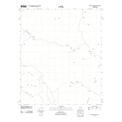
2010 Map of Clements Ranch
USGS Topo · Published 2010About this map
Clements Ranch and its surrounding network of canyons and watering holes characterize this portion of Chaves County at the start of the 21st century. The landscape is defined by the ephemeral flow of the Rio Felix and the extensive system of wells that supported local ranching operations. Numerous family-named landmarks are present, including McCarty Well, Pendergrass Well, and Taylor Well, which point to the historic development of water resources in this arid environment.
Find a feature on this map
38 named features on this map. Tap any name to fly to it.
Don’t see what you’re looking for? This feature index may not catch every label — zoom into the map to look around manually.
Map Details
Editions of this 2010 Clements Ranch Map
This is the sole edition of this map. No revisions or reprints were ever made.
Other maps of this area

1954 · Carlsbad
USGS Topo · 1:250,000

1955 · Roswell
USGS Topo · 1:250,000

1958 · Carlsbad
USGS Topo · 1:250,000

1958 · Roswell
USGS Topo · 1:250,000

1961 · Flying H
USGS Topo · 1:62,500

1962 · Roswell
USGS Topo · 1:250,000

1962 · Dunken
USGS Topo · 1:62,500

1963 · Clements Ranch
USGS Topo · 1:24,000

1963 · Mayhill
USGS Topo · 1:24,000

1963 · Turkey Peak
USGS Topo · 1:24,000