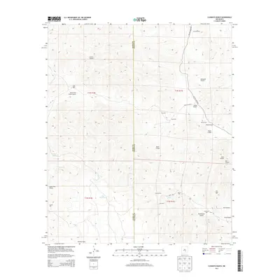
2013 Map of Clements Ranch
USGS Topo · Published 2013About this map
Rio Felix winds through the high desert landscape of this territory along the border of Otero and Chaves counties. The mapping of the region emphasizes the vital importance of water management for livestock and ranching, evidenced by the numerous named water sources dispersed throughout the canyon systems. Deep drainages such as Lincoln Canyon and Whitetail Canyon define the northern terrain, while the namesake Clements Ranch occupies the northeastern corner of the quadrangle.
Find a feature on this map
34 named features on this map. Tap any name to fly to it.
Don’t see what you’re looking for? This feature index may not catch every label — zoom into the map to look around manually.
Map Details
Editions of this 2013 Clements Ranch Map
This is the sole edition of this map. No revisions or reprints were ever made.
Other maps of this area

1954 · Carlsbad
USGS Topo · 1:250,000

1955 · Roswell
USGS Topo · 1:250,000

1958 · Carlsbad
USGS Topo · 1:250,000

1958 · Roswell
USGS Topo · 1:250,000

1961 · Flying H
USGS Topo · 1:62,500

1962 · Roswell
USGS Topo · 1:250,000

1962 · Dunken
USGS Topo · 1:62,500

1963 · Clements Ranch
USGS Topo · 1:24,000

1963 · Mayhill
USGS Topo · 1:24,000

1963 · Turkey Peak
USGS Topo · 1:24,000