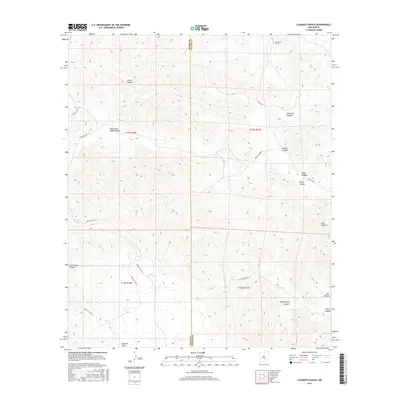
2017 Map of Clements Ranch
USGS Topo · Published 2017About this map
Clements Ranch and the rugged drainage systems of the Sacramento Mountains foothills define this 2017 survey on the border of Otero and Chaves counties. The landscape is carved by numerous deep canyons, including the winding Felix Canyon and its neighbor, Little Felix Canyon. These seasonal watercourses dictate the layout of local travel, with tracks like Felix Canyon Rd and Indian Canyon Rd following the natural breaks in the topography.
Find a feature on this map
25 named features on this map. Tap any name to fly to it.
Don’t see what you’re looking for? This feature index may not catch every label — zoom into the map to look around manually.
Map Details
Editions of this 2017 Clements Ranch Map
This is the sole edition of this map. No revisions or reprints were ever made.
Other maps of this area

1954 · Carlsbad
USGS Topo · 1:250,000

1955 · Roswell
USGS Topo · 1:250,000

1958 · Carlsbad
USGS Topo · 1:250,000

1958 · Roswell
USGS Topo · 1:250,000

1961 · Flying H
USGS Topo · 1:62,500

1962 · Roswell
USGS Topo · 1:250,000

1962 · Dunken
USGS Topo · 1:62,500

1963 · Clements Ranch
USGS Topo · 1:24,000

1963 · Mayhill
USGS Topo · 1:24,000

1963 · Turkey Peak
USGS Topo · 1:24,000