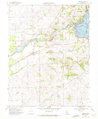
1968 Map of Clements
USGS Topo · Published 1972About this map
Clements and the settlement of Dogtown anchor this late 1960s landscape where infrastructure meets agriculture along the Mokelumne River. The recent completion of the Camanche Dam has transformed the eastern terrain, creating the Camanche Reservoir and introducing the Mokelumne River Fish Installation just downstream. Extensive dredge tailings along the river banks reveal the area's industrial history, contrasting with the active transport network of the Southern Pacific railroad and the massive Mokelumne Aqueduct cutting across the southern half of the sheet.
Find a feature on this map
31 named features on this map. Tap any name to fly to it.
Don’t see what you’re looking for? This feature index may not catch every label — zoom into the map to look around manually.
Map Details
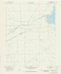
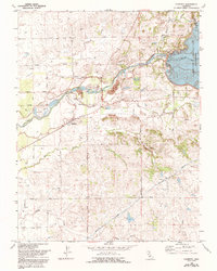
Editions of this 1968 Clements Map
3 editions found
Other maps of this area

1889 · Jackson
USGS Topo · 1:125,000

1892 · Jackson
USGS Topo · 1:125,000

1894 · Lodi
USGS Topo · 1:125,000

1897 · Jackson
USGS Topo · 1:125,000

1902 · Jackson
USGS Topo · 1:125,000

1908 · Waterloo
USGS Topo · 1:31,680

1908 · Linden
USGS Topo · 1:31,680

1908 · Lockeford
USGS Topo · 1:31,680

1909 · Clay
USGS Topo · 1:31,680

1909 · Goose Creek
USGS Topo · 1:31,680