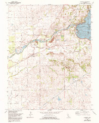
1968 Map of Clements
USGS Topo · Published 1993About this map
The Mokelumne River serves as the central artery of this landscape, its path marked by significant water management infrastructure and historical industry. Along its banks, the massive Camanche Reservoir is held by the Camanche Dam, while the Mokelumne River Fish Installation stands just downstream. Evidence of the region's industrial past is visible in the extensive Dredge Tailings flanking the river west of Dogtown. The settlement of Clements anchors the central part of the sheet, surrounded by an agricultural grid of roads like Acampo Road and Peltier Road. Further south, the Mokelumne Aqueduct cuts diagonally across the terrain, illustrating the critical role this area plays in California's water distribution. Genealogists will find the Clements Glen View Cemetery and local landmarks like the Rodeo Arena particularly noteworthy for tracing local heritage.
Find a feature on this map
25 named features on this map. Tap any name to fly to it.
Don’t see what you’re looking for? This feature index may not catch every label — zoom into the map to look around manually.
Map Details
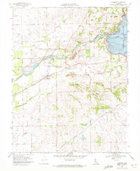
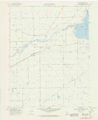
Editions of this 1968 Clements Map
3 editions found
Other maps of this area

1889 · Jackson
USGS Topo · 1:125,000

1892 · Jackson
USGS Topo · 1:125,000

1894 · Lodi
USGS Topo · 1:125,000

1897 · Jackson
USGS Topo · 1:125,000

1902 · Jackson
USGS Topo · 1:125,000

1908 · Waterloo
USGS Topo · 1:31,680

1908 · Linden
USGS Topo · 1:31,680

1908 · Lockeford
USGS Topo · 1:31,680

1909 · Clay
USGS Topo · 1:31,680

1909 · Goose Creek
USGS Topo · 1:31,680