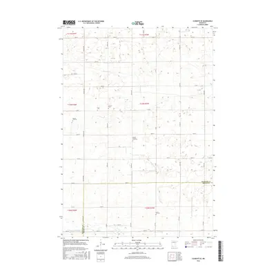
2016 Map of Clements SE
USGS Topo · Published 2016About this map
Small rural burial grounds and family plots dot this agricultural landscape along the boundary of Redwood Co and Brown Co. The survey reveals the importance of local heritage sites like the Missouri Evans Plot and Tonak Cem, which sit amidst a grid of section roads including Co Rd 4 and 180th St. These modest cemeteries, often the last physical traces of early homesteading families, are concentrated in the northern sections of the township.
Find a feature on this map
26 named features on this map. Tap any name to fly to it.
Don’t see what you’re looking for? This feature index may not catch every label — zoom into the map to look around manually.
Map Details
Editions of this 2016 Clements SE Map
This is the sole edition of this map. No revisions or reprints were ever made.
Other maps of this area

1953 · Morgan
USGS Topo · 1:62,500

1953 · New Ulm
USGS Topo · 1:250,000

1957 · New Ulm
USGS Topo · 1:250,000

1958 · New Ulm
USGS Topo · 1:250,000

1967 · New Ulm
USGS Topo · 1:250,000

1967 · Wanda
USGS Topo · 1:24,000

1967 · Sanborn
USGS Topo · 1:24,000

1967 · Clements
USGS Topo · 1:24,000

1967 · Clements SE
USGS Topo · 1:24,000

1967 · Rowena
USGS Topo · 1:24,000