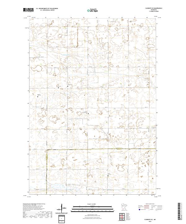
2022 Map of Clements SE
USGS Topo · Published 2022About this map
The agricultural landscape along the Redwood Co Brown Co border is defined by a grid of rural roads and the meandering paths of Sleepy Eye Cr and Coal Mine Cr. This section of southwestern Minnesota preserves several small family and community burial sites, including the Missouri Evans Plot and Tonak Cem. The Sundown Lutheran Church serves as a local landmark near the center of the sheet, adjacent to Sundown Cem. The map provides a detailed view of section lines and township boundaries, including t110n r35w, where the prairie is interspersed with numerous small wetlands and drainage basins characteristic of the region's topography.
Find a feature on this map
37 named features on this map. Tap any name to fly to it.
Don’t see what you’re looking for? This feature index may not catch every label — zoom into the map to look around manually.
Map Details
Editions of this 2022 Clements SE Map
This is the sole edition of this map. No revisions or reprints were ever made.
Other maps of this area

1953 · Morgan
USGS Topo · 1:62,500

1953 · New Ulm
USGS Topo · 1:250,000

1957 · New Ulm
USGS Topo · 1:250,000

1958 · New Ulm
USGS Topo · 1:250,000

1967 · New Ulm
USGS Topo · 1:250,000

1967 · Wanda
USGS Topo · 1:24,000

1967 · Sanborn
USGS Topo · 1:24,000

1967 · Clements
USGS Topo · 1:24,000

1967 · Clements SE
USGS Topo · 1:24,000

1967 · Rowena
USGS Topo · 1:24,000