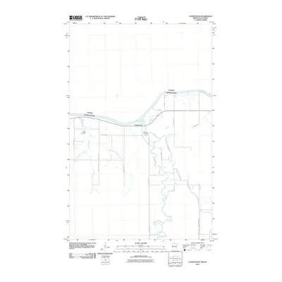
2010 Map of Clementson
USGS Topo · Published 2010About this map
Clementson sits at the confluence of the Rapid River and the Rainy River, serving as a primary point of interest along the international boundary between the United States and Canada. The landscape is defined by its complex hydrology, with the Silver Creek system—including the West Branch Silver Creek and East Branch Silver Creek—draining northward toward the border. This 2010 survey illustrates the rural infrastructure of the area, where a network of county roads like County Hwy-89 and County Hwy-104 connects local homesteads and provides access to the riverfront. For genealogists and local historians, the map preserves the locations of the Silver Creek Cemetery and Clementson Cemetery, markers of the community's established history in this northern river valley. The meandering course of the East Fork Rapid River further highlights the low-lying, water-dependent character of this borderland region.
Find a feature on this map
21 named features on this map. Tap any name to fly to it.
Don’t see what you’re looking for? This feature index may not catch every label — zoom into the map to look around manually.
Map Details
Editions of this 2010 Clementson Map
This is the sole edition of this map. No revisions or reprints were ever made.
Other maps of this area

1919 · Canada
USGS Topo · 1:62,500

1921 · Baudette
USGS Topo · 1:62,500

1954 · Roseau
USGS Topo · 1:250,000

1957 · Roseau
USGS Topo · 1:250,000

1958 · Roseau
USGS Topo · 1:250,000

1968 · Baudette SE
USGS Topo · 1:24,000

1968 · Clementson
USGS Topo · 1:24,000

1968 · Border
USGS Topo · 1:24,000

1968 · Clementson SW
USGS Topo · 1:24,000

1968 · Clementson SE
USGS Topo · 1:24,000