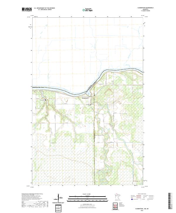
2022 Map of Clementson
USGS Topo · Published 2022About this map
Clementson sits at the confluence of the Rainy River and the Rapid River, serving as a focal point for this northern Minnesota landscape along the Canadian border. The terrain is defined by a complex network of waterways, including the East Fork Rapid River and Eldens Rapids, which drain the low-lying wetlands of Lake of the Woods and Koochiching counties. Local history and genealogy are preserved at the Silver Creek Cem and Clementson Cem, which mark early settlement patterns in an area largely dominated by timber and water resources. Numerous seasonal and secondary roads, such as Co Hwy 19 and Co Hwy 18, provide access to the interior creeks like Silver Cr and Gormley Cr that feed the international boundary waters.
Find a feature on this map
41 named features on this map. Tap any name to fly to it.
Don’t see what you’re looking for? This feature index may not catch every label — zoom into the map to look around manually.
Map Details
Editions of this 2022 Clementson Map
This is the sole edition of this map. No revisions or reprints were ever made.
Other maps of this area

1919 · Canada
USGS Topo · 1:62,500

1921 · Baudette
USGS Topo · 1:62,500

1954 · Roseau
USGS Topo · 1:250,000

1957 · Roseau
USGS Topo · 1:250,000

1958 · Roseau
USGS Topo · 1:250,000

1968 · Baudette SE
USGS Topo · 1:24,000

1968 · Clementson
USGS Topo · 1:24,000

1968 · Border
USGS Topo · 1:24,000

1968 · Clementson SW
USGS Topo · 1:24,000

1968 · Clementson SE
USGS Topo · 1:24,000