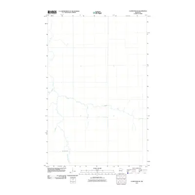
2010 Map of Clementson SE
USGS Topo · Published 2010About this map
Wing River meanders across this northern Minnesota landscape in Koochiching County, showing the intricate hydrological network that defines this region. The East Fork Rapid River flows through the southern portion of the quadrangle, while Bartons Brook marks the northwestern terrain. This 2010 survey, compiled from 2009 NAIP imagery, captures a snapshot of the wilderness and waterway patterns before significant modern shifts. The map illustrates the sparsely settled character of the area, where natural drainage systems like the Wing and East Fork Rapid rivers are the primary landmarks for those navigating the backcountry or studying local environmental history.
Find a feature on this map
3 named features on this map. Tap any name to fly to it.
Don’t see what you’re looking for? This feature index may not catch every label — zoom into the map to look around manually.
Map Details
Editions of this 2010 Clementson SE Map
This is the sole edition of this map. No revisions or reprints were ever made.
Other maps of this area

1919 · Birchdale
USGS Topo · 1:62,500

1919 · I
USGS Topo · 1:62,500

1954 · Roseau
USGS Topo · 1:250,000

1957 · Roseau
USGS Topo · 1:250,000

1958 · Roseau
USGS Topo · 1:250,000

1968 · Clementson
USGS Topo · 1:24,000

1968 · Birchdale SW
USGS Topo · 1:24,000

1968 · Stratton
USGS Topo · 1:24,000

1968 · Border
USGS Topo · 1:24,000

1968 · Clementson SW
USGS Topo · 1:24,000