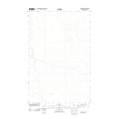
2013 Map of Clementson SE
USGS Topo · Published 2013About this map
The Wing River meanders across the central portion of this Koochiching County landscape, defining the hydrology of a region characterized by its extensive wetland and water networks. In the southern reach, the E Fork Rapid River flows through the terrain, while Bartons Brook marks the northwestern corner. This 2013 survey by the U.S. Geological Survey provides a precise look at the drainage patterns of northern Minnesota, where subtle elevation changes dictate the course of these northern-flowing water bodies. The lack of named settlements or major roadways emphasizes the remote, natural state of the area, making it a clear reference for researchers studying the state's hydrography and forest boundaries.
Find a feature on this map
3 named features on this map. Tap any name to fly to it.
Don’t see what you’re looking for? This feature index may not catch every label — zoom into the map to look around manually.
Map Details
Editions of this 2013 Clementson SE Map
This is the sole edition of this map. No revisions or reprints were ever made.
Other maps of this area

1919 · Birchdale
USGS Topo · 1:62,500

1919 · I
USGS Topo · 1:62,500

1954 · Roseau
USGS Topo · 1:250,000

1957 · Roseau
USGS Topo · 1:250,000

1958 · Roseau
USGS Topo · 1:250,000

1968 · Clementson
USGS Topo · 1:24,000

1968 · Birchdale SW
USGS Topo · 1:24,000

1968 · Stratton
USGS Topo · 1:24,000

1968 · Border
USGS Topo · 1:24,000

1968 · Clementson SW
USGS Topo · 1:24,000