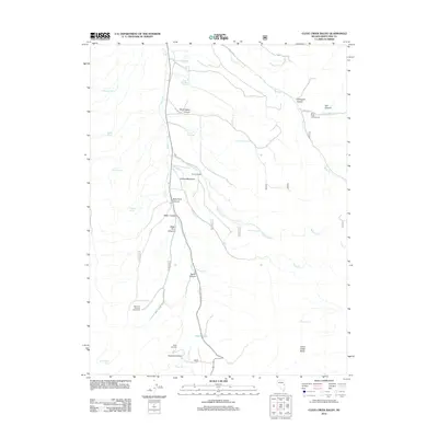
2012 Map of Cleve Creek Baldy
USGS Topo · Published 2012About this map
Pescio Ranch and the seasonal dwellings of the Sage Hen Summer Home Area highlight the high-altitude land use in this part of White Pine County. The landscape is defined by the convergence of steep canyons and alpine meadows, such as Gilford Meadows, which are fed by numerous water sources including Wellington Springs and Bone Yard Spring. The drainage network is complex, with Duck Cr and Berry Cr cutting through the terrain, while Success Summit and Cleve Creek Baldy provide significant topographic markers.
Find a feature on this map
37 named features on this map. Tap any name to fly to it.
Don’t see what you’re looking for? This feature index may not catch every label — zoom into the map to look around manually.
Map Details
Editions of this 2012 Cleve Creek Baldy Map
This is the sole edition of this map. No revisions or reprints were ever made.
Other maps of this area

1952 · Ely
USGS Topo · 1:125,000

1956 · Ely
USGS Topo · 1:250,000

1958 · McGill
USGS Topo · 1:24,000

1958 · East Ely
USGS Topo · 1:24,000

1958 · Comins Lake
USGS Topo · 1:24,000

1958 · Ely
USGS Topo · 1:62,500

1958 · McGill
USGS Topo · 1:62,500

1959 · Ely
USGS Topo · 1:250,000

1959 · Connors Pass
USGS Topo · 1:62,500

1959 · Schell Peaks
USGS Topo · 1:62,500