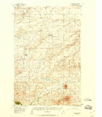
1956 Map of Cleveland
USGS Topo · Published 1958About this map
The northern foothills of the Bearpaw Mountains dominate this mid-century survey, revealing a landscape defined by isolated peaks and seasonal watercourses. Cleveland serves as the primary reference point in a region characterized by a high density of rural schoolhouses, including New Hope Sch, Ramberg Sch, and South Fairview Sch. This concentration of educational sites suggests a peak in the area's dryland farming community before the trend toward school consolidation. To the west, the Chief Joseph Battleground Historical Markers indicate the location of the 1877 Battle of Bear Paw, providing a historical anchor to the physical terrain. Drainage patterns are complex, with Snake Creek, Box Elder Coulee, and Peoples Creek carving through the prairie toward prominent landmarks like McCann Butte and the Sand Rocks formation.
Find a feature on this map
26 named features on this map. Tap any name to fly to it.
Don’t see what you’re looking for? This feature index may not catch every label — zoom into the map to look around manually.
Map Details
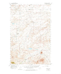
Editions of this 1956 Cleveland Map
3 editions found
Other maps of this area

1904 · Yantic
USGS Topo · 1:62,500

1904 · Chinook
USGS Topo · 1:62,500

1905 · Harlem
USGS Topo · 1:62,500

1912 · Zurich
USGS Topo · 1:125,000

1913 · Cherry Ridge
USGS Topo · 1:125,000

1953 · Havre
USGS Topo · 1:250,000

1956 · Maddux
USGS Topo · 1:62,500

1956 · Rattlesnake
USGS Topo · 1:62,500

1956 · Lloyd
USGS Topo · 1:62,500

1956 · Cleveland
USGS Topo · 1:62,500