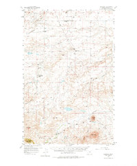
1956 Map of Cleveland
USGS Topo · Published 1976About this map
The Bearpaw Mountains dominate the southern portion of this landscape, characterized by prominent peaks like Miles Butte and Crown Butte. This mid-century survey illustrates a remote ranching and farming region in Blaine County, where local life centered around a network of country schools such as New Hope Sch, South Fairview Sch, and Red Rock Sch. In the northern plains, the tiny community of Cleveland sits near the headwaters of Cleveland Creek, while the complex drainage systems of Snake Creek and Peoples Creek carve through the terrain. A significant historical site is preserved at the Chief Joseph Battleground Historical Markers, noting the Nez Perce's final struggle. The distribution of small churches like Blessed Sacrament Ch among these coulees and buttes provides a detailed record of the mid-20th-century rural social structure in the high plains.
Find a feature on this map
29 named features on this map. Tap any name to fly to it.
Don’t see what you’re looking for? This feature index may not catch every label — zoom into the map to look around manually.
Map Details
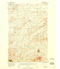
Editions of this 1956 Cleveland Map
3 editions found
Other maps of this area

1904 · Yantic
USGS Topo · 1:62,500

1904 · Chinook
USGS Topo · 1:62,500

1905 · Harlem
USGS Topo · 1:62,500

1912 · Zurich
USGS Topo · 1:125,000

1913 · Cherry Ridge
USGS Topo · 1:125,000

1953 · Havre
USGS Topo · 1:250,000

1956 · Maddux
USGS Topo · 1:62,500

1956 · Rattlesnake
USGS Topo · 1:62,500

1956 · Lloyd
USGS Topo · 1:62,500

1956 · Cleveland
USGS Topo · 1:62,500