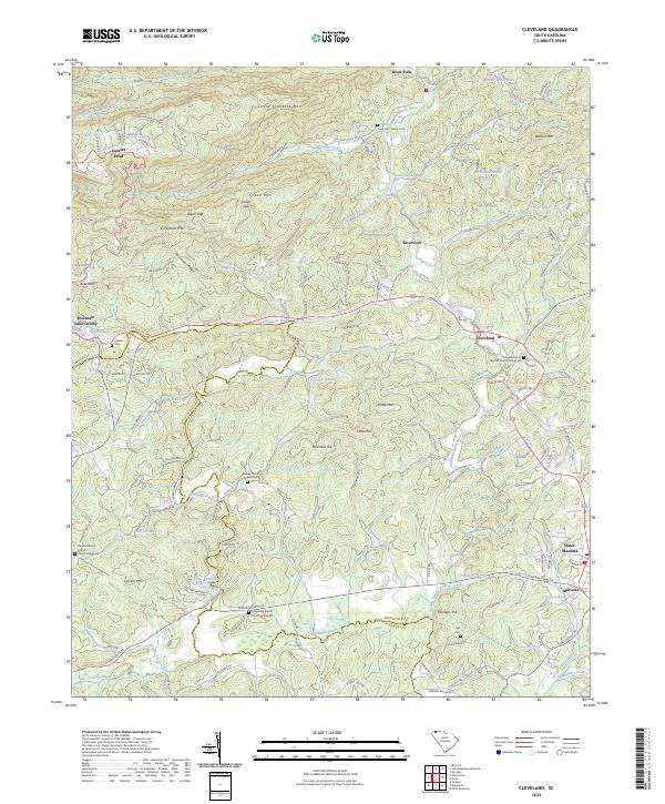
2024 Map of Cleveland
USGS Topo · Published 2024About this map
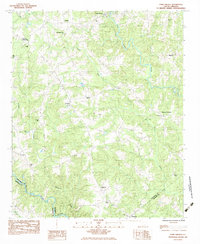
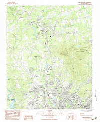
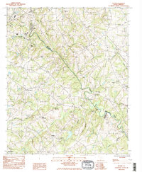
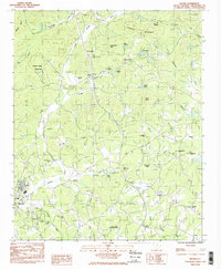
Caesars Head and the surrounding mountain terrain define the upper reaches of this landscape where the Middle Saluda River and South Saluda River carve through the Blue Ridge foothills. The map documents a significant intersection of rural community life and natural features along the Greenville County and Pickens County line. Small settlements like Riverview and Cleveland serve as hubs for the scattered family cemeteries and country churches that dot the ridges. Genealogists will find a dense concentration of burial sites, including the Jones Hart Family Cem, Moody Turner Anders Cem, and several church graveyards. The terrain is marked by distinctive elevations such as Green Mtn, Little Pinnacle Mtn, and Campbell Mtn, while developments like Mountain Lake Colony suggest the area's role as a retreat from the larger textile centers of the region.
Find a feature on this map
148 named features on this map. Tap any name to fly to it.
Don’t see what you’re looking for? This feature index may not catch every label — zoom into the map to look around manually.
Map Details
Editions of this 2024 Cleveland Map
This is the sole edition of this map. No revisions or reprints were ever made.
Historical Maps of Caesars Head Through Time
14 maps found
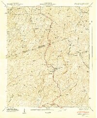
1946 Eastatoe Gap
Greenville County, SC
1947 Eastatoe Gap
Greenville County, SC
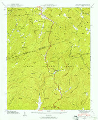
1961 Cleveland
Greenville County, SC
1983 Fork Shoals
Greenville County, SC
1983 Paris Mountain
Greenville County, SC
1983 Pelham
Greenville County, SC
1983 Slater
Greenville County, SC
1997 Standingstone Mtn
Greenville County, SC
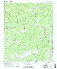
2024 Cleveland
Greenville County, SC
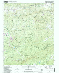
2024 Fork Shoals
Greenville County, SC
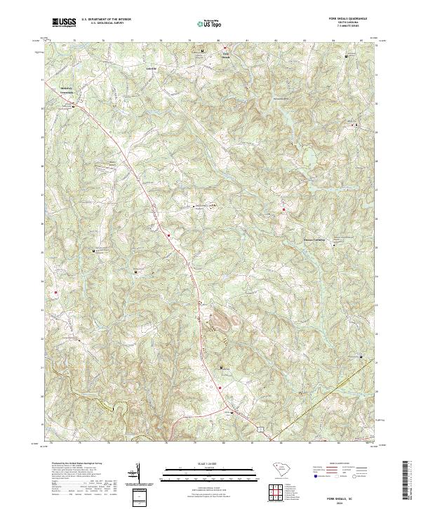
2024 Paris Mountain
Greenville County, SC
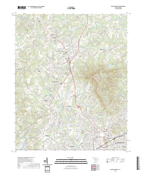
2024 Pelham
Greenville County, SC
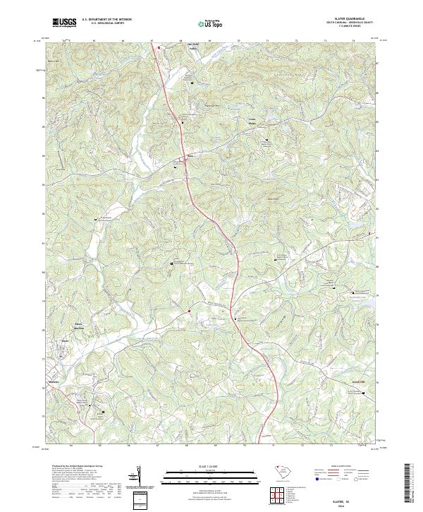
2024 Slater
Greenville County, SC
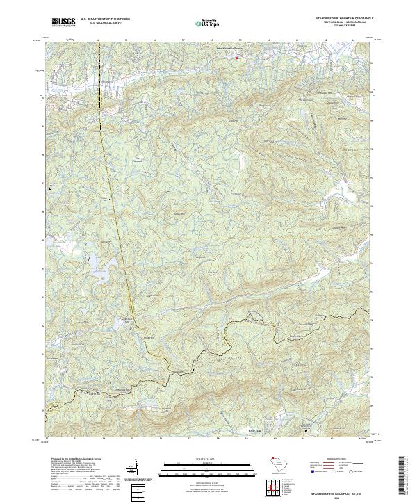
2024 Standingstone Mountain
Greenville County, SC