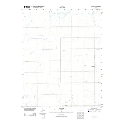
2009 Map of Cleveland
USGS Topo · Published 2009About this map
Cleveland occupies a central position in this Kingman County landscape, situated along the grid of rural roads that define the region's agricultural layout. The settlement is anchored by the Cleveland Cemetery, a primary site for local genealogical research. To the north, the South Fork Ninnescah River meanders across the territory, joined by a network of seasonal drainages including Petty Creek, Wild Run Creek, and White Horse Creek.
Find a feature on this map
24 named features on this map. Tap any name to fly to it.
Don’t see what you’re looking for? This feature index may not catch every label — zoom into the map to look around manually.
Map Details
Editions of this 2009 Cleveland Map
This is the sole edition of this map. No revisions or reprints were ever made.
Other maps of this area
1889 · Anthony
USGS Topo · 1:125,000
1891 · Anthony
USGS Topo · 1:125,000
1892 · Kingman
USGS Topo · 1:125,000
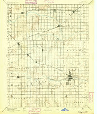
1894 · Kingman
USGS Topo · 1:125,000
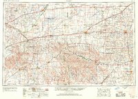
1955 · Pratt
USGS Topo · 1:250,000
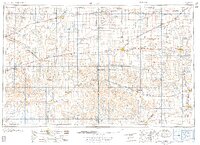
1959 · Pratt
USGS Topo · 1:250,000
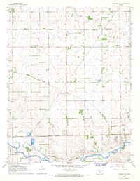
1967 · Kingman NW
USGS Topo · 1:24,000
1967 · Alameda
USGS Topo · 1:24,000
1967 · Cleveland
USGS Topo · 1:24,000
1967 · Kingman
USGS Topo · 1:24,000