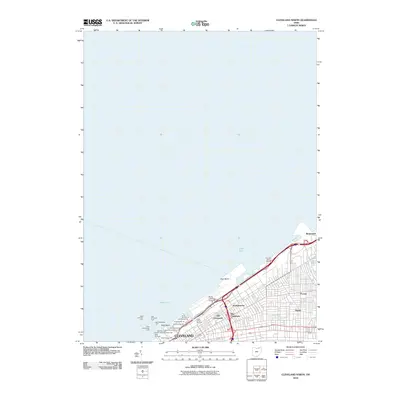
2010 Map of Cleveland North
USGS Topo · Published 2010About this map
The industrial and ethnic landscape of the Cleveland lakefront is defined by its working harbors and distinct neighborhoods in the early 21st century. Along the shore of Lake Erie, the urban grid reaches toward the East Basin and West Basin, which are protected by a network of navigational aids including the West Pierhead Light and East Breakwater Light. The map documents the city's complex port infrastructure, specifically the South Harbor Terminal and a series of numbered berths ranging from Dock Number 20 to Dock Number 34. Inland, the geography reflects the city's cultural history, marking the locations of Old Chinatown and New Chinatown, as well as the neighborhoods of Poznan and Josephatowa. Extensive transportation corridors like N Marginal Rd and S Marginal Rd border the Burke Lakefront Airport, while the village of Bratenahl sits to the northeast where Doan Brook meets the lake.
Find a feature on this map
32 named features on this map. Tap any name to fly to it.
Don’t see what you’re looking for? This feature index may not catch every label — zoom into the map to look around manually.
Map Details
Editions of this 2010 Cleveland North Map
This is the sole edition of this map. No revisions or reprints were ever made.
Other maps of this area

1901 · Euclid
USGS Topo · 1:62,500

1902 · Berea
USGS Topo · 1:62,500

1903 · Cleveland
USGS Topo · 1:62,500

1903 · Euclid
USGS Topo · 1:62,500

1904 · Berea
USGS Topo · 1:62,500

1950 · Cleveland
USGS Topo · 1:250,000

1953 · Shaker Heights
USGS Topo · 1:24,000

1953 · East Cleveland
USGS Topo · 1:24,000
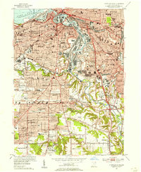
1953 · Cleveland South
USGS Topo · 1:24,000
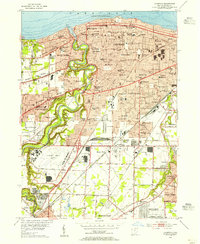
1953 · Lakewood
USGS Topo · 1:24,000